Get Full Government Meeting Transcripts, Videos, & Alerts Forever!
Get email alerts on the Transportation Infrastructure topic
No spam. Unsubscribe anytime.
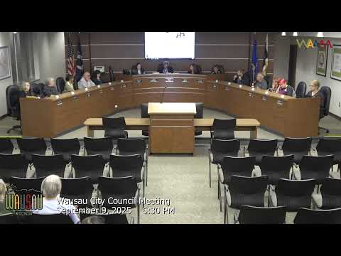
Wausau council rejects current Highway 52 design, sends plan back to staff after months of public debate
Summary
After several committee meetings and public comment, the Common Council declined to adopt the infrastructure committee's blended design for State Highway 52 (Wausau Avenue), citing unresolved neighborhood concerns and right-of-way constraints. The project will return to staff for further work with DOT and local stakeholders.
The Wausau Common Council on Tuesday declined to adopt the infrastructure committee's design recommendation for State Highway 52 (East Wausau Avenue) from North Sixth Street to North Eighteenth Street, and directed staff and the Wisconsin Department of Transportation partners to return to the drawing board.
Council members and residents debated safety, right-of-way limits and whether to build a two-way left-turn lane (called a "twiddle" in committee documents), dedicated bike lanes or a south-side multiuse path. City engineer Alan Waslowski and consultant Stephanie Christiansen of EMCs told the council the corridor has a high crash rate between Sixth and Thirteenth streets and that the DOT's design standards limit lane narrowing and curb-to-curb changes.
The infrastructure and facilities committee had earlier endorsed a blended solution meant as a compromise: a two-way left-turn lane from Sixth to Thirteenth and a different cross section from Thirteenth to Eighteenth that included a multiuse path on the south side. That hybrid prompted strong criticism at Tuesday's meeting from several council members and from area residents and advocacy groups, who said the committee process had not adequately addressed alternative designs, pedestrian and bicycle continuity, and property impacts.
Supporters of the committee's blended approach, including the committee chair and DOT staff, said the proposal targeted the corridor's highest-crash segment for the twiddle (which qualifies for federal safety funding) while providing additional pedestrian/bicycle options where the corridor widens. Opponents argued the split design would produce a five-block multiuse path with no connectivity to existing trails, create uneven right-of-way taking east of Thirteenth Street and leave unanswered questions about driveway impacts and tree loss.
Council debate included repeated requests for more granular, block-by-block options and for staff to convene additional, in-person design sessions with the Bicycle and Pedestrian Advisory Committee and affected residents. Several alderpersons said they had expected more coordination or direct briefings after the infrastructure committee asked for additional options during the summer. Engineer Waslowski and consultant Christiansen said some earlier-suggested changes are not feasible under state highway standards and that some compromises already had been incorporated into the C1 alternate presented to council.
An amendment offered on the floor to adopt a uniform A2 (twiddle) design from Sixth to Eighteenth with sidewalks on both sides and no multiuse path failed (4-6). The council later voted to end debate and take the main motion; after confusion about software and a tie vote, the mayor and staff confirmed the package did not carry and the item will return to staff and the committee for further redesign and public outreach.
The DOT consultant repeatedly noted constraints: minimum shoulder/bike-lane widths on a state highway, limited right-of-way (60 feet typical from Sixth to Thirteenth), and the need to replace underground utilities and pavements, which can force tree and terrace impacts. Several alderpersons asked staff to explore smaller, low-impact traffic-calming options such as single-lane roundabouts at select intersections, but DOT staff said roundabouts were not an immediately feasible alternative at the traffic volumes and crash patterns observed.
The council directed staff to continue coordination with DOT and to bring more detailed, block-level renderings and impact information back to Infrastructure & Facilities before another citywide vote. No formal funding commitments or contract awards were made at Tuesday's meeting.
Ending: The project will proceed only after staff returns with additional design options and clearer documentation of property impacts, pedestrian/bicycle connectivity and costs; council members urged a renewed schedule of public meetings to allow residents and advisory groups to review specific alternatives.