Get Full Government Meeting Transcripts, Videos, & Alerts Forever!
Palm Coast approves future land‑use and rezoning for 38.8‑acre site on State Road 100; council presses developer on traffic mitigation
Summary
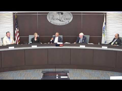
Council unanimously approved a future land use map amendment and companion rezoning for a 38.8‑acre parcel west of Seminole Woods Boulevard on Oct. 21; staff and several council members pressed the applicant for additional traffic mitigation and a Traffic Impact Analysis prior to site plan approval.
PALM COAST, Fla. — The City of Palm Coast City Council voted unanimously Oct. 21 to adopt a future land use map (FLUM) amendment and a companion zoning map amendment for about 38.8 acres located roughly a half‑mile west of Seminole Woods Boulevard along State Road 100. The changes convert a mix of Flagler County commercial high intensity (about 10.5 acres) and residential high density (about 28.3 acres) to the city’s mixed‑use FLUM designation and to the city’s COM‑2 (general commercial) zoning.
City planning staff said the companion zoning amendment and an assumed maximum floor‑area ratio (FAR) of 0.4 were used to calculate theoretical development potential. At that FAR, the gross site could allow up to about 676,000 square feet of built space compared with roughly 182,000 square feet of nonresidential development under the county designations as presented — a theoretical net increase approaching half a million square feet depending on final site plans. Under the county’s residential high‑density designation the parcel would have retained an entitlement of up to…
Already have an account? Log in
Subscribe to keep reading
Unlock the rest of this article — and every article on Citizen Portal.
- Unlimited articles
- AI-powered breakdowns of topics, speakers, decisions, and budgets
- Instant alerts when your location has a new meeting
- Follow topics and more locations
- 1,000 AI Insights / month, plus AI Chat