Virginia innovation group seeks York County permission to host sensors for drone test corridor
Get AI-powered insights, summaries, and transcripts
Subscribe
Summary
Virginia Innovation Partnership Corporation and Virginia Department of Aviation asked the York County Board of Supervisors to allow installation of low‑cost sensors on county property to test drone detect-and-avoid systems and support beyond‑visual‑line‑of‑sight operations tied to FAA safety cases.
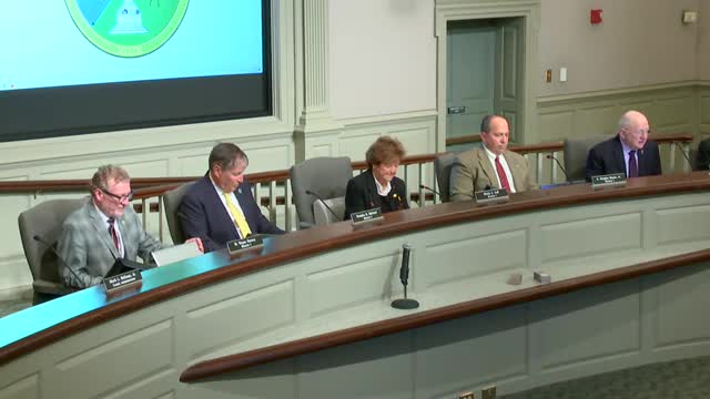
Chris Sadler, director at the Virginia Innovation Partnership Corporation’s Public Safety Innovation Center, and Scott Denney, advanced air mobility program manager for the Virginia Department of Aviation, told the York County Board of Supervisors on Oct. 21 that Virginia is building a test network for low‑altitude airspace and wants to site detection sensors inside the Hampton Roads region.
Sadler said the Commonwealth has awarded $1 million for planning and test sites, including Stafford Regional Airport, and that Virginia wants to expand a sensor corridor into Hampton Roads. “We’re asking York County to help us in what we’re doing,” Sadler said, describing plug‑in sensors that feed detect‑and‑avoid information to flight software and to a shared Virginia flight information exchange system.
Denney said the effort supports two aims: research to establish safety cases the FAA needs for beyond‑visual‑line‑of‑sight drone operations and commercialization of advanced air mobility, including package or medical delivery and infrastructure inspections. He said the Stafford‑Warrenton‑Winchester corridor is one test area and that Hampton Roads is attractive because of complex restricted airspace around military bases and ports.
Board members pressed staff and presenters on collision avoidance for low‑flying helicopters and other aircraft. Sadler and Denney said the sensor architecture uses a mix of remote‑ID radio receivers, ADS‑B sensors for squawking aircraft and optical camera arrays that run AI classifiers to identify birds, manned aircraft or drones; the system is designed to feed de‑confliction data to operators and to FAA. They acknowledged limitations — the optical sensors work best in daylight and some military aircraft do not broadcast ADS‑B — and described ongoing work with Air Combat Command on secure data sharing.
Sadler said the project already helped fund a DOT grant that enabled legal, FAA‑waivered drone flights between Eastern Shore sites and Tangier Island to deliver medical items. Denney said Virginia expects FAA guidance on proposed part 107/108 changes in the coming months and that state pilots are sharing test data with the agency.
The presenters asked the board to authorize county staff to work on a memorandum of understanding allowing sensors to be installed on county buildings and infrastructure. Board members said they supported keeping York involved but asked for follow‑up details on data governance, cybersecurity and what specific county sites would host equipment.
The presenters left the board with technical and policy questions to resolve, including the final terms of an MOU, placement and height of sensor units, nighttime detection capability, and a timeline for when sensors would be installed.
Provenance: first remarks on the topic began with Chris Sadler introducing VIPC’s project and request; Denney and board follow‑up questions continued and closed the item.
