Committee moves to expand Downtown 2 and MX2 zoning on Pine and Brook Street corridors
Get AI-powered insights, summaries, and transcripts
Subscribe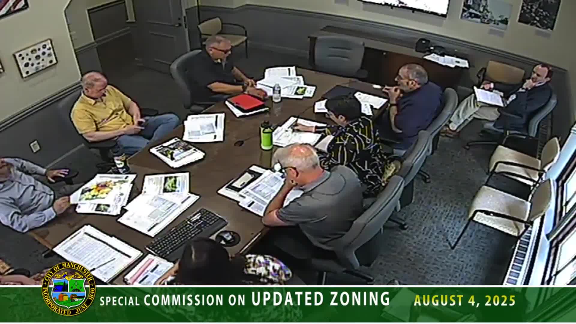
Summary
Steering committee members described map changes in the second draft that expand Downtown 2 to Pine Street and place both sides of Brook Street between Pine and Union into an MX2 designation, following ward meetings with aldermen.
The Zoning Ordinance Steering Committee reported specific map changes to downtown zoning in the second draft of Manchester’s zoning ordinance, including extending the Downtown 2 district to reach Pine Street and reclassifying much of the Brook Street corridor as MX2.
“We actually expanded Downtown 2 to Pine Street in between Lake Avenue and Wolf Street,” Jeff, planning staff, told the committee, adding that the change was made “in tandem with the Alderman Ford, Ward 3.” Jeff said the change also aligns building-front zoning so both sides of Auburn Street face the same zone.
Committee members said the first draft ended MX2 at Brook Street; the update places both sides of Brook Street between Pine and Union into MX2 to avoid abrupt transitions in allowable building mass and height. “The first draft had it stopped, abruptly at Brook. So now both sides of Brook will be in MX2,” one committee member said.
Other map and lot adjustments The committee also discussed work with Ward 6 on the mass/traffic circle area, which staff said remains B2 in the current ordinance and was proposed as BC2; staff said they are now considering limiting lot coverage in that area because it lies within a watershed (referred to in the discussion as the Lake/Casa Vic production district) and they want to manage runoff and intensity of uses.
Why it matters The map changes affect allowable building types and scale in central wards and are intended to smooth transitions at block face edges so neighboring property owners see consistent rules for building mass and height across a street. Staff said the changes resulted from a series of aldermanic ward meetings and tailored the draft toward ward-level concerns.
Next steps Staff said these map edits are included in the second draft that will be posted for public review; members asked for the district summary sheets that accompany the draft to be made available to the public before the presentation on Friday.
Provenance: First related transcript block excerpt (topicintro): “And 1 of the only things we had changed, in tandem with the Alderman Ford, Ward 3, is we actually expanded Downtown 2 to Pine Street in between Lake Avenue and Wolf Street.”
Last related transcript block excerpt (topicfinish): “And in that kind of similar vein, everything facing Brook Street, in the section in between Pine and Union will now also be in MX2. The first draft had it stopped, abruptly at Brook. So now both sides of Brook will be in MX2.”