Get Full Government Meeting Transcripts, Videos, & Alerts Forever!
Get email alerts on the Conservation Zoning Buffers topic
No spam. Unsubscribe anytime.
Conservation commission to back Nature Conservancy zoning requests; debates 200‑ vs. 400‑foot buffer
Summary
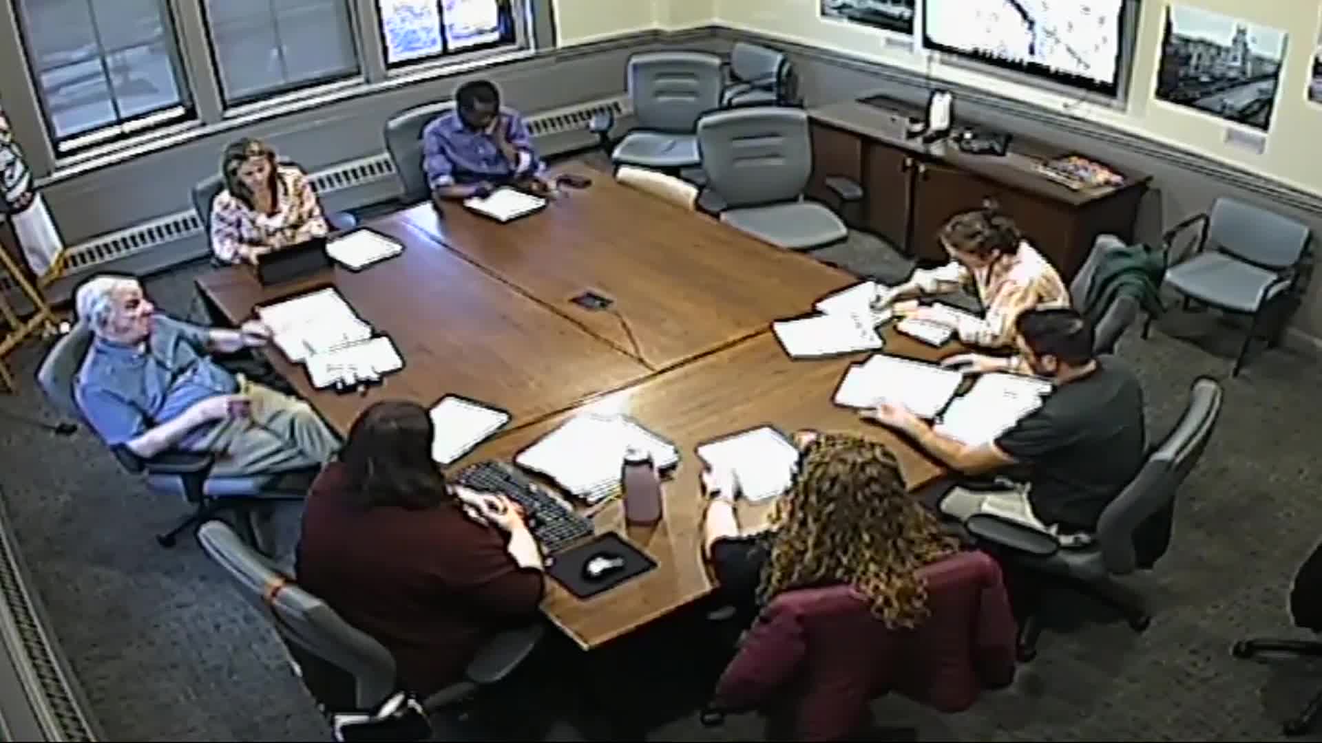
Commissioners reviewed The Nature Conservancy's request that the Manchester Cedar Swamp Preserve and adjacent lands receive conservation zoning and a limited‑activity buffer where the Innovation District abuts conserved land, and staff reported parcel‑level map changes that would expand conservation zoning for several parks and waterbodies.
Commissioners reviewed two draft letters supporting The Nature Conservancy's request that portions of the Manchester Cedar Swamp Preserve be protected by conservation zoning and that a limited‑activity buffer be established where the Innovation District abuts conserved land.
Staff and commissioners displayed a parcel‑based map of proposed conservation zoning changes and described specific additions: Pine Island Park and most of Pine Island Pond, Stevens Pond, Livingston Park, Stark Park, expanded protection along Black Brook and several city‑owned park parcels that will be reclassified from split zoning into a conservation district. The maper noted that one parcel containing a city dump will remain in the Innovation District and was removed from the conservation overlay on the map.
The Nature Conservancy asked the city to require a limited‑activity buffer where the Innovation District meets conservation lands; the conservancy's proposal called for a 200‑foot buffer, while staff and several commissioners said ecological studies support a 400‑foot buffer. Commissioners discussed tradeoffs between proposing a scientifically supported larger buffer and the political feasibility of winning aldermen approval.
"The Nature Conservancy came to us with their proposal," a commissioner said during the meeting, "we've reviewed it and find it fair and we agree with their proposals," expressing support in principle for the conservancy's requests while also debating whether the commission's letter should endorse 200 feet or recommend 400 feet as a scientific ideal.
Commissioners discussed implementation details and constraints: rezoning generally requires either the landowner's initiative or action by the Board of Mayor and Aldermen and the building/lands subcommittee; parcels already under city ownership can be reclassified more easily; longstanding private uses are often "grandfathered" and only subject to new restrictions when a use changes or an expansion triggers site‑plan review.
Staff said the zoning ordinance steering committee is scheduled to meet May 12; commissioners instructed staff to merge the two draft letters (the Nature Conservancy's and a commission version), include the parcel map and supporting materials, and bring the consolidated letter to the steering committee. During discussion the commission coalesced around recommending a 400‑foot limited‑activity buffer as a stated scientific preference while noting the conservancy's 200‑foot request as the immediate proposal to support.
Commissioners also asked staff to include a recommendation that future planned developments that abut conservation zones be required to provide intentional green space or dedicated recreational areas for residents to reduce edge‑effect impacts on preserved parcels.
No formal roll‑call vote on the letter was recorded in the minutes; staff recorded that commissioners would merge drafts and pursue a coordinated submission to the zoning ordinance steering committee.
Key quoted and discussed technical elements included: why buffer distance matters for fringe effects (trash, noise, light, domestic animals) that degrade ecological value at property edges; parcel‑based conservation zoning to reduce ambiguity about boundaries; and the practical limits of enforcement against private encroachments such as yard extensions, compost piles or landscaper debris.
Next steps identified at the meeting: staff will merge the draft letters, attach the parcel map and the Nature Conservancy's materials, and present the merged packet to the zoning ordinance steering committee for further drafting and possible incorporation into the zoning ordinance.