Commission approves Sunset Ranch preliminary plan; drainage easements and reservoir lot clarified
Get AI-powered insights, summaries, and transcripts
Subscribe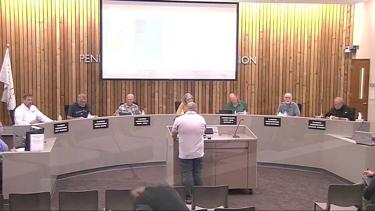
Summary
The planning commission approved a preliminary plan for the remaining portion of Sunset Ranch subdivision (COPPL25-0010), accepting 13–14 new lots, drainage easements over natural ravines and a separate reservoir lot to be owned and maintained by the water supplier or road district.
The Pennington County Planning Commission voted Aug. 25 to approve the preliminary plan COPPL25-0010 for the final portion of Sunset Ranch subdivision. The plan, submitted by Laredo Holdings LLC and surveyed by Long Branch Civil Engineering, covers about 158.65 acres and proposes creation of multiple residential lots, a reservoir lot and associated infrastructure with conditions required before final platting.
Cody Cox, senior planner, told commissioners the request appears to be “in harmony with existing lots and land uses” in the area and noted the county board previously approved a planning and development amendment on July 1 to allow the additional lots. Cox said the new road name, Wagon Wheel Drive, must be approved by emergency services and the new lots must be incorporated into the county road district.
Engineer Kale Macnebeth of Long Branch Civil Engineering explained that large drainage easements were placed where natural low-flow channels and ravines traverse the property. “I picked out every spot where run-on water was gonna cross a lot and place a major drainage easement on it,” Macnebeth said, to prevent future filling or obstruction and to protect downstream flow paths. He also identified stock-dam features on the site that the drainage easements cover.
Commissioners asked about the reservoir lot that contains a water tank and well house; Cox said those improvements will be contained on a separate lot and that a private corporation currently operating the water system will own it. Staff recommended that a document be recorded with the Register of Deeds stating that the road district, homeowners association or water supplier will be responsible for perpetual ownership and maintenance of that lot so taxes are paid and the county is not left with abandoned infrastructure.
Cox said final-plat conditions must be met before the chair or planning director signs the plat and added that roads must meet county ordinance 14 standards. The commission approved the preliminary plan with conditions; staff will verify compliance with the listed conditions before allowing the plat to be filed.
The plan must also address emergency-service review of the proposed street name and incorporate the new lots into the county road district per staff conditions. Commissioners said they will follow up if subsequent complaints or unresolved technical issues arise before final platting.
The approval is preliminary; final plat filing will occur after all conditions are satisfied and required documents recorded.