Madras panel recommends adopting updated FEMA flood-insurance map
Get AI-powered insights, summaries, and transcripts
Subscribe
Summary
The Madras Planning Commission voted to recommend that City Council adopt a development-code change to reference FEMA's updated Flood Insurance Rate Map (FIRM) and asked FEMA to finalize a new effective map; the change will alter which properties must meet local flood-elevation rules and, in some cases, purchase flood insurance.
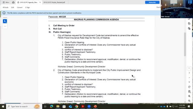
MADRAS, Ore. — The City of Madras Planning Commission on Jan. 15 voted to recommend that City Council adopt a development-code amendment tying the city's flood regulations to the effective FEMA Flood Insurance Rate Map and asked FEMA to finalize a new map created with recent LIDAR survey data.
The recommendation follows a staff presentation explaining that a remapping effort, funded in part with a U.S. Army Corps grant and supported by local bridge improvements, replaces the long-standing 1989 study with a more accurate portrayal of Willow Creek’s floodway and floodplain. Staff said the change will affect which properties are designated by FEMA as being within the Special Flood Hazard Area (SFHA) and therefore subject to local elevation requirements and, for some properties, mandatory flood insurance.
City staff told commissioners the revision used modern LIDAR elevation data and limited supplemental surveys, and noted a key engineering project — expansion of the J Street bridge — was completed to reduce upstream inundation before the map change was advanced. Staff said the city submitted a Letter of Map Revision (LOMR) to FEMA in February 2024 and that FEMA has accepted the study pending the city’s local hearings and formal confirmation.
Why this matters: The flood-insurance map is the technical basis for determining required building elevations and which borrowers must carry flood insurance when properties lie in a federally designated SFHA. Staff said the proposed map removes an older “split channel” shown on the 1989 map and, in some places, expands the floodway; other parcels formerly mapped as in the SFHA are removed. That reallocation of boundaries means some owners will newly be subject to elevation standards and to flood-insurance requirements, while other owners may be removed from prior designations.
Staff presentation and public questions Nick, a city planning staff member who led the presentation, described the technical change and the city’s notification process, saying, “in 02/2024 ... we submitted to FEMA what’s called the letter of map revision.” He explained the map uses cross-section elevations and that new cross sections are accurate to a tenth of a foot, which staff uses to set required finished-floor elevations.
One resident, Sam Williams of 680 Southeast Kincaid Road, asked for clarification on whether his property and nearby parcels had changed status; staff walked through the online mapper and the cross-section tables and showed how to use the address search to check an individual parcel. Williams said he had attended the city open house and that the new map “looks pretty close to the way it was before,” noting the most visible change was removal of the split channel.
Staff emphasized that only a relatively small number of properties will newly require flood insurance and that FEMA also notifies lenders when maps become effective. Commissioners pressed for specifics on counts and insurance impacts; staff said a property-by-property spreadsheet exists and that notices had been mailed to affected property owners, and that the city issued the Measure 56 notice required under Oregon law when adopting a development regulation that may limit land use or reduce land value.
Action and next steps The commission closed public testimony and then voted to recommend that City Council proceed with adopting the code change that references FEMA’s effective FIRM panels and to request FEMA finalize the proposed FIRM. The recommendation will be followed by a city-council ordinance after FEMA makes the map effective, according to staff. If FEMA finalizes the map, the council will consider an ordinance in spring 2025 to enact the specific code language now recommended by the commission.
The public can review parcel-level results on the city’s online mapper and may contact city staff for the parcel spreadsheet that lists proposed status changes and the approximate elevation differences used in the study.
Details to watch: the final FEMA effective date (which determines when insurance requirements apply) and the city council’s ordinance to formally incorporate the effective FIRM into local code.
