Get Full Government Meeting Transcripts, Videos, & Alerts Forever!
Get email alerts on the Coastal Planning topic
No spam. Unsubscribe anytime.
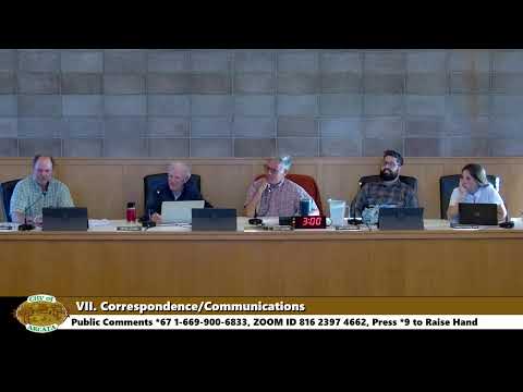
Arcata Planning Commission reviews updated local coastal program, sea-level map and policy edits
Summary
The Arcata City Planning Commission reviewed a revised Local Coastal Program (coastal element and zoning ordinance), discussed a newly released sea-level-rise policy-area map, and asked staff to reword industrial, visitor-parking and contaminated-sites policies before formal public hearings in late May or June.
The Arcata City Planning Commission on April 22 considered a revised local coastal element and a new coastal zoning ordinance and requested staff return with revised wording and three outstanding maps before moving to formal public hearings.
Community Development Director David Loya told commissioners the packet includes the draft local coastal element and the newly released coastal zoning ordinance, and that two maps — a sea level rise policy-area map and an agricultural-policy map — would be posted and provided to the commission before the next meeting. "The map is basically, 6 feet of sea level rise, from the February, base year," Loya said, describing the sea-level planning scenario that underlies the policy-area mapping.
The commission discussed several substantive policy areas: how to treat industrial uses in the coastal zone, visitor parking and access language, whether to explicitly encourage camping as an overnight coastal accommodation, and how to handle low-impact-development features on sites with known or suspected contamination.
Jennifer Kautz, director of Humboldt Waterkeeper, urged a clearer contaminant-safety trigger for design of stormwater features. "You need to also figure out where the contamination is and make sure you're not putting a bioswale in that contaminated soil because then you're just exacerbating the problem by soaking the stormwater in contaminated soil before it runs off," Kautz said, recommending removal or avoidance of contaminated soil where practicable. Staff agreed to add language requiring project-level verification when contamination is known or suspected and to review related trail- and stormwater-policy language.
Commissioners asked staff to reword a section currently titled "hazardous industrial development." The commission agreed to remove the word "hazardous" from the title and direct staff to clarify that industrial development allowed in the coastal zone must fully mitigate any hazardous operations or materials — rather than relying on a standard tied to "existing adjacent development." Several commissioners suggested alternative phrasing such as requiring industrial development to be "properly sited" and to employ best-management practices; staff said the land-use table in the proposed coastal zoning ordinance would also control allowable uses and that formal changes to allowed uses would require revising that table.
On visitor access, commissioners debated a clause that would minimize new visitor parking. Some said the clause read as if visitors were a nuisance and proposed instead language that prioritizes "equitable coastal access" and a range of mobility options (walking, biking, transit) while recognizing existing parking resources and Coastal Commission expectations. Commissioners also voiced support for explicitly encouraging camping as an additional low-cost overnight accommodation in the visitor-accommodation policy (9.20.14), and staff noted the idea would be tracked and returned in the next revision.
On timing, Loya told the commission he hoped to begin formally noticed public hearings by May 27 or, if needed, at the commission's first June meeting on June 10. He said the packet version dated April 15 was on the commission's web page and that several items would be posted as soon as final versions are available, including a revised land-use overlay insert and the agricultural map.
No formal vote was taken on the local coastal program itself at the April 22 meeting; commissioners provided direction and asked staff to return with revised language and the outstanding maps for a final deliberation before public hearings.
The meeting also approved the consent calendar (minutes from the April 8, 2025 regular meeting) by voice vote. The clerk recorded ayes and the chair stated, "Motion passes."