Regional study shows compound flooding greatly expands risk in Flagler Beach; adaptation plan due in December
Get AI-powered insights, summaries, and transcripts
Subscribe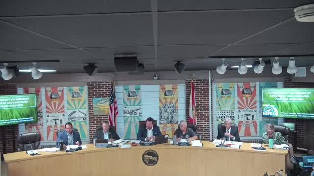
Summary
The Northeast Florida Regional Council on Tuesday told the Flagler Beach City Commission that a countywide vulnerability assessment and a new compound-flooding analysis show substantially larger and deeper flood hazards along coastal and inland corridors than standard models indicate.
The Northeast Florida Regional Council on Tuesday told the Flagler Beach City Commission that a countywide vulnerability assessment and a new compound-flooding analysis show substantially larger and deeper flood hazards along coastal and inland corridors than standard models indicate. Andrew Pokopiak, senior resiliency planner at the council, presented maps and methods used for the assessment and said the adaptation plan tied to the work will be available this winter.
The assessment “identifies areas, structures, and other infrastructure that specifically need to be targeted that are at risk for flooding,” Pokopiak said, adding that the work is also a state requirement tied to the Resilient Florida grant program.
The presentation stressed that compound flooding — when two or more drivers such as a high tide and heavy rainfall occur together — cannot be estimated by simply summing independent flood levels. Pokopiak showed model outputs where the compound analysis added several feet of water in some places compared with the standard exposure maps and said that difference drives priorities for adaptation projects.
Why it matters: the maps and the adaptation plan are the technical foundation for grant-funded projects such as roadway elevation, lift-station hardening and nourishment. Pokopiak said the adaptation plan is “the key in the door for implementation funding” because it produces ready-to-build project recommendations that state and federal grant programs prefer.
Details from the presentation: - The assessment layers three flood categories — rainfall-driven inland flooding, hurricane storm surge and high-tide/nuisance flooding — and projects those with NOAA sea-level-rise scenarios for 2040 and 2070. - The county’s compound-flooding outputs were developed in partnership with Taylor Engineering and show up to several feet more inundation in places such as the Crescent Lake area under a 1% (100-year) storm with a 2040 intermediate-low sea-level rise projection. - The NEFRC provides an online vulnerability- assessment portal with PDF maps for different asset types (transportation, utilities, etc.) and will publish the compound-flooding layers the presenter said should be uploaded the next day.
Commissioners and staff discussed practical next steps. Commissioner Bellheimer said the city has municipal assets on South Flagler Avenue that flood frequently and asked whether those specific assets could be added to the county plan; Pokopiak replied the county plan can be supplemented with municipal-level assets and offered to work with the city engineer. Commissioner Cooley asked about the Intracoastal Waterway and whether mitigation options were in the plan; Pokopiak said the adaptation plan will favor “nature-based solutions” and hybrid approaches where seawalls or bulkheads are unavoidable.
The presenter emphasized that the state-required vulnerability assessment contains three required products — data (asset inventory), an exposure analysis (maps of depths), and a sensitivity analysis (risk to assets) — and that the recommended adaptation plan is what helps jurisdictions obtain implementation funds.
The commission did not take a formal vote on policies but was offered the county-level data and invited to identify municipal assets that could be added to Flagler County’s adaptation plan.
The adaptation plan draft and the county’s compound-flooding maps are scheduled for broader release in December; the NEFRC representative offered to coordinate with the city’s engineering staff to incorporate locally prioritized assets.
For citizens: NEFRC’s public vulnerability portal contains the county maps and will include the compound- flooding layers; the presenter said the portal is searchable by asset type and flood scenario.