Robinson adopts updated future land use and zoning maps after compiling years of ordinance changes
Get AI-powered insights, summaries, and transcripts
Subscribe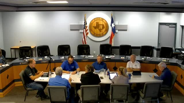
Summary
The City Council adopted ordinances that formalize dozens of zoning and land-use changes since the prior map, creating updated official maps for the comprehensive plan and zoning code.
Robinson — The Robinson City Council adopted ordinances updating the city’s future land use map and its zoning map, incorporating roughly 79 individual changes that had been made since the prior formal maps were adopted.
Why it matters: Planning staff told the council the federal and state rules require public process for map changes and that consolidating all approved changes into current official maps improves clarity for developers, residents and staff. The updated maps reflect zone changes the council and Planning and Zoning Commission previously approved; the council’s action formalizes those changes on an official map.
What the council decided: the council adopted Ordinance 2025-023 to update the future land use map and Ordinance 2025-024 to adopt the updated zoning map. Planning and Zoning Commission recommended approval of the future land use map by a 4–0 vote and recommended the zoning map 5–0 at prior hearings, and staff said the new maps merely collect past ordinance decisions into a single, current document rather than changing land uses anew.
Staff explanation: presenting staff member David said the ordinances do not alter previously approved zoning cases; rather they “adopt a new official map with all of the changes over a period of time incorporated into the official map.” The packet and staff presentation noted that jurisdictions commonly revise maps every three to five years depending on the volume of zone cases.
Process and next steps: the ordinances include typical savings clauses and findings that meetings were held in public as required by law; with the council vote the new official maps will replace the prior maps in the city’s records and be used for future land-use decisions.
Context: council members said the formal updates remove ambiguity in planning records and make it easier for staff and applicants to know current zoning without cross-referencing many separate ordinances.