Planning commission, village board approve certified survey map to reconfigure two Milky Way Road lots
Get AI-powered insights, summaries, and transcripts
Subscribe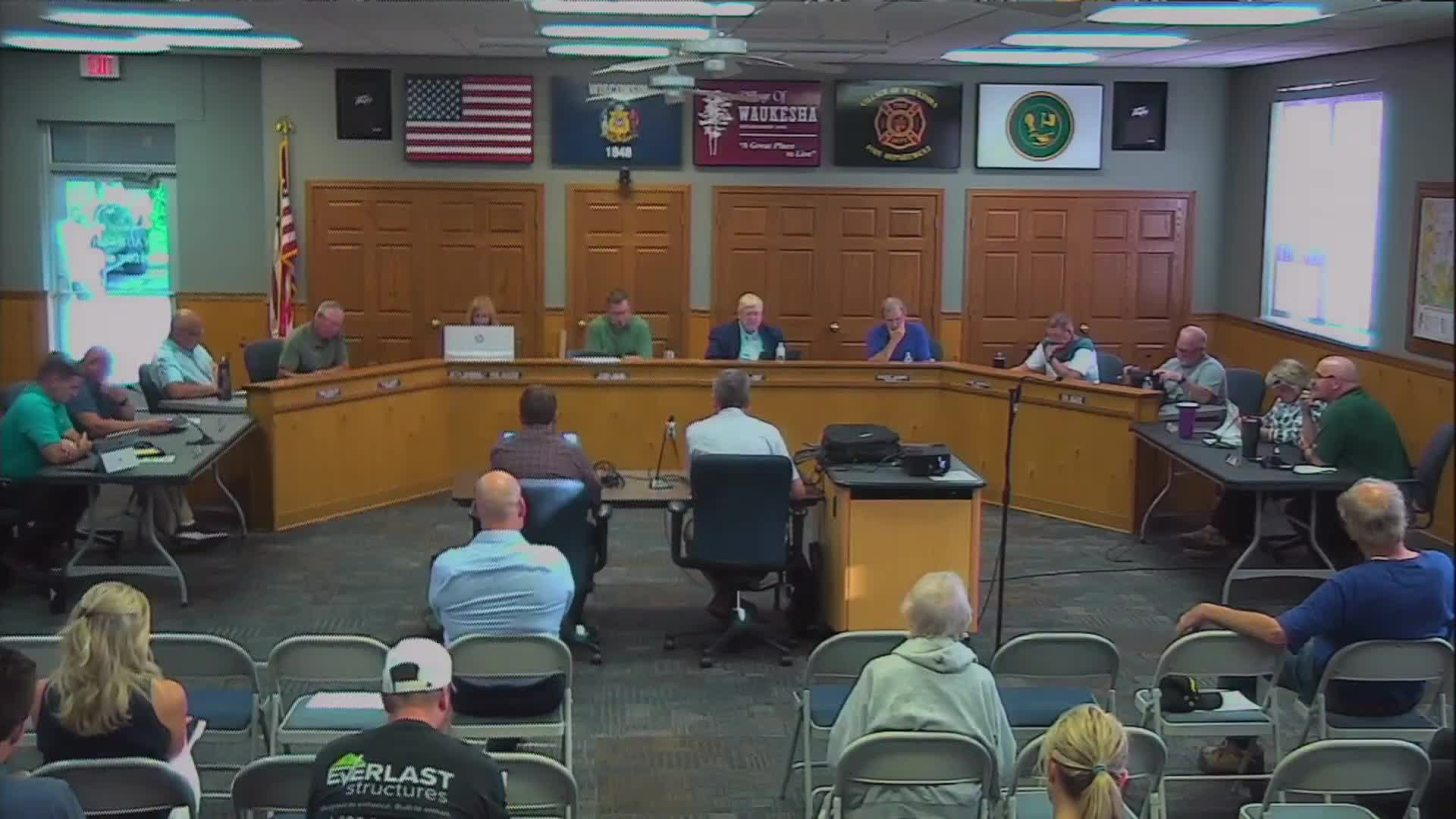
Summary
Petitioner Kurt Bushman sought to reconfigure two adjacent Milky Way Road parcels into a 5.98-acre lot and a 20.63-acre lot; staff identified technical edits and the commission and board approved the CSM subject to standard staff and engineer comments.
The joint Planning Commission and Village Board voted Aug. 14 to approve a certified survey map (CSM) submitted by petitioner Kurt Bushman to reconfigure two Milky Way Road parcels into a new 5.98-acre lot and a new 20.63-acre lot. Planning staff and the village engineer reviewed the CSM and recommended several technical edits before recording. Planner Sean (staff) told the commission the proposed lots meet the R-1 zoning district requirements and that the change makes sense because most of the rear area is environmental corridor. He said the five-lot limit in village practice had previously prevented the change in February 2024, but the five-year restriction had since expired. The village engineer noted missing bearings, required labeling of square footage and structures, and other drafting items tied to Wisconsin Administrative Code and village ordinance requirements; staff said those items were typically addressed before signatures and recording. Kevin Monroe, representing the petitioner at the meeting, confirmed he had reviewed the documents and that the surveyor would update the map to address the technical comments. Action: The Planning Commission moved to accept the certified survey map with staff and engineer accommodations; the motion passed unanimously. The Village Board then moved to accept the commission’s recommendation and approve the CSM with staff recommendations; the board’s motion carried unanimously. Why it matters: The approved CSM reconfigures two lots, clarifies lot lines around environmental corridors and wetlands, and allows a newly built house that staff said is already present on the revised parcel to remain in place consistent with zoning. Next steps: Staff and the surveyor must update the CSM to incorporate the engineer’s technical comments (bearing information, structure square footage, updated signature lines) prior to signature and recording.