County surveyor reports countywide mapping projects and new GPS benchmarks to aid planning
Get AI-powered insights, summaries, and transcripts
Subscribe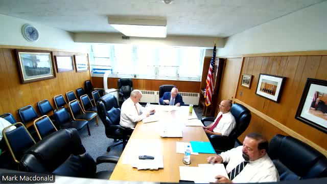
Summary
County Surveyor Patrick Higgins briefed commissioners on active municipal and county projects including retracing Oakland Street in Millis, a 15-acre survey for Midway Community Farm, drainage work in Dover, cemetery mapping, and a county-wide program to add modern GNSS control points to the National Geodetic Survey database.
NORFOLK COUNTY, Mass. — Patrick Higgins, Norfolk County surveyor, told commissioners on Aug. 6 that his office is active on a wide range of municipal and county projects including boundary and topographic surveys, right-of-way retracements and a countywide effort to add modern GPS control points for future surveying and flood-elevation work.
Higgins outlined several active projects: retracing the right of way and producing full topographic plans for Oakland Street in Millis for future paving and drainage; a 15-acre boundary and topographic survey at Midway Community Farm that enabled a pavilion and restroom project and site planning for a future barn; a drainage and replacement project for Dover DPW after on-site drainage infiltration failed; boundary work at Oak Grove Farm where the county will mark fence posts to memorialize the line; mapping interior roads and sections at Prospect Hill Cemetery in Auburn to produce a schematic map for interment locations; and ongoing county projects including existing-condition surveys for Dedham and Brookline district courts.
Higgins described a county initiative to establish two to four static GNSS control points in each town and submit the occupation data to the National Geodetic Survey (NGS). "Using GPS in modern day, instead of being plus or minus 9 feet or 10 feet, we've got it down within, like, a tenth of a foot or a couple inches," Higgins said, describing why modern benchmarks matter for elevation certifications, FEMA flood studies and design accuracy.
He said fieldwork for several projects is complete and drafting is under way, and that survey data for the NGS submissions will be published in the next month or two. Commissioners asked routine procedural questions about county involvement in town line work and resetting monuments; Higgins said the county assists when corners are disturbed, wiped out or need resetting after construction.
Separately, Higgins updated commissioners on a Wollaston Recreation tennis-court resurfacing project (ARPA-funded) that has started construction; he said the contractor has compacted subbase and the binder paving is expected soon with a target closeout and punch-list in October-November.
Discussion only: questions from commissioners and staff focused on frequency of town-line recertification and which circumstances prompt county involvement. Formal action: none; this was an informational report.