Get Full Government Meeting Transcripts, Videos, & Alerts Forever!
Get email alerts on the Right Of Way And Easements topic
No spam. Unsubscribe anytime.
Residents and board discuss Mount Vision Road access; board urges new survey and recorded plan
Summary
A longtime dispute over whether a gravel access road shown on an older plan is recorded prompted the planning board to advise the property owner to obtain a new survey and record an updated Mylar that shows the roadway; the board stopped short of endorsing the older unrecorded plan.
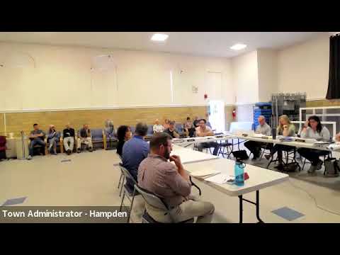
HAMPTON, Mass. — A lengthy public discussion on Aug. 27 focused on Mount Vision Road and a gravel access privately used by four houses uphill, with residents and the planning board debating whether the roadway is shown on the recorded plan for a parcel currently offered for sale.
Property owners Michael and Melissa Mastroardi brought an older plan that shows a gravel road; they told the board that the version filed with the Registry of Deeds does not show that roadway. Board members reviewed two plan sheets dated in 2008: one shows the roadway; the later filed sheet does not. The discrepancy means the recorded plan may not reflect the gravel access that residents use and that prospective buyers rely on.
Planning board members said the correct procedural fix is to have the parcel surveyed and file an updated Mylar that accurately depicts the existing roadway and any easements or rights‑of‑way. One board member summarized the advice: “You go get it surveyed, and then you won't need to come back.” The board declined to endorse the older, unrecorded plan because a later filed plan dated a week later supersedes the earlier sheet in the registry.
Board members and residents also discussed the condition of the access: the steep grade and narrow gravel drive make emergency access and school bus service difficult; board members noted the road’s steepness likely exceeds modern grade standards and that upgrades would be required for any formalized common drive or subdivision access. Several members recalled a long history of informal arrangements and urged that any change creating new lots should be paired with a concrete plan for improving access and servicing the existing houses that use the drive.
The board’s practical guidance was procedural: obtain a current survey and file a new recorded plan that shows the roadway and any right‑of‑way or easement language so deeds and conveyances can point to a recorded plan. The planning board did not require immediate upgrades but noted that if the owner later seeks to subdivide or create new lots, engineering upgrades to the drive (grading, drainage, and turnout/turnaround for emergency vehicles) would be necessary.
No formal endorsement or enforcement action was taken; the board advised the owner to return with an updated recorded plan after a current survey.