Get Full Government Meeting Transcripts, Videos, & Alerts Forever!
FEMA remap removes about 1,079 Santa Paula parcels from high-risk flood zone, adds 44 properties
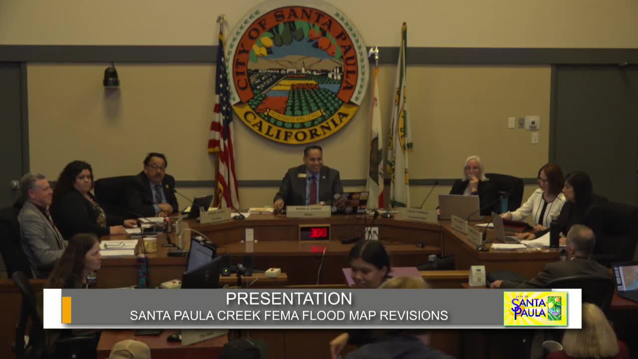
Summary
City engineers told the Santa Paula City Council that new FEMA mapping for Santa Paula Creek will take effect May 15 and will remove roughly 1,079 properties from the special flood-hazard area while adding 44 properties; the city will offer residents information on insurance, letters of map change and mitigation options.
City Engineer Bob Woodward told the Santa Paula City Council on April 2 that updated FEMA flood maps for the Santa Paula Creek watershed will take effect May 15, changing flood designations for several hundred properties across the city.
The remapping, which follows updated hydrology of Santa Paula Creek, reduces special flood-hazard designations in large swaths of the city — about 1,079 property owners move from a special flood-hazard area (A/AE/AE99) into Zone X, an area FEMA describes as having minimal flood risk — while 44 properties are newly mapped into the special flood-hazard area, Woodward said.
The change matters because properties in FEMA’s special flood-hazard areas commonly must carry flood insurance if they have federally backed mortgages; properties moved to Zone X could see insurance…
Already have an account? Log in
Subscribe to keep reading
Unlock the rest of this article — and every article on Citizen Portal.
- Unlimited articles
- AI-powered breakdowns of topics, speakers, decisions, and budgets
- Instant alerts when your location has a new meeting
- Follow topics and more locations
- 1,000 AI Insights / month, plus AI Chat