Get Full Government Meeting Transcripts, Videos, & Alerts Forever!
Get email alerts on the Flood Mapping topic
No spam. Unsubscribe anytime.
FEMA remap removes about 1,079 Santa Paula parcels from high-risk flood zone, adds 44 properties
Summary
City engineers told the Santa Paula City Council that new FEMA mapping for Santa Paula Creek will take effect May 15 and will remove roughly 1,079 properties from the special flood-hazard area while adding 44 properties; the city will offer residents information on insurance, letters of map change and mitigation options.
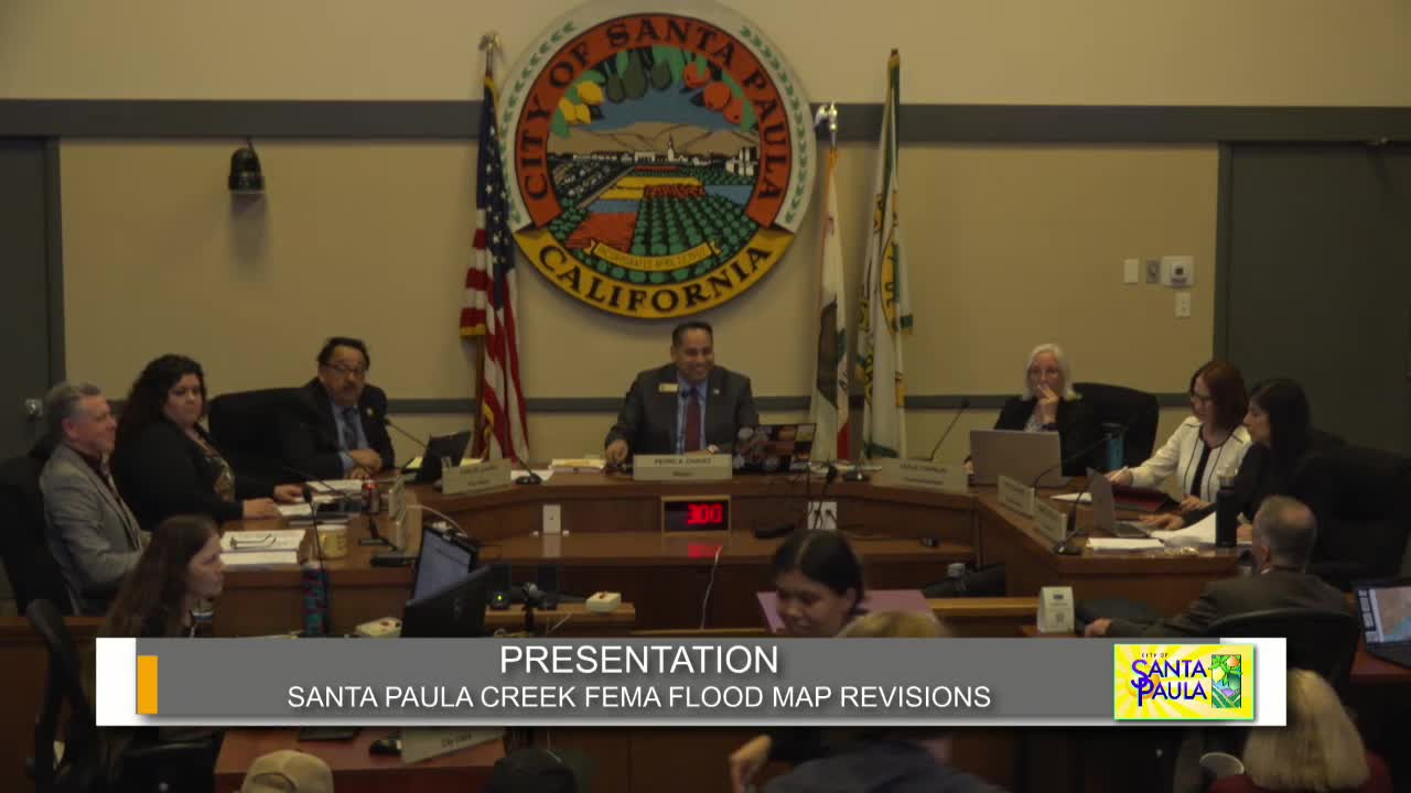
City Engineer Bob Woodward told the Santa Paula City Council on April 2 that updated FEMA flood maps for the Santa Paula Creek watershed will take effect May 15, changing flood designations for several hundred properties across the city.
The remapping, which follows updated hydrology of Santa Paula Creek, reduces special flood-hazard designations in large swaths of the city — about 1,079 property owners move from a special flood-hazard area (A/AE/AE99) into Zone X, an area FEMA describes as having minimal flood risk — while 44 properties are newly mapped into the special flood-hazard area, Woodward said.
The change matters because properties in FEMA’s special flood-hazard areas commonly must carry flood insurance if they have federally backed mortgages; properties moved to Zone X could see insurance requirements reduced. Woodward said FEMA and insurance companies have transition provisions: newly mapped properties may qualify for a premium discount and FEMA allows staged premium increases (capped at roughly 18% per year in the modeling described) until a property’s full rate applies.
Woodward said the remap also adds more precise flood elevations in areas south of Main Street and immediately adjacent to Santa Paula Creek, so some properties that were already in a flood zone will have a better-defined depth and elevation profile. The presentation included maps showing areas of decreased risk (tan/pink), newly added areas (yellow), and areas whose flood elevations are now more precisely defined (blue).
City staff said the remapping effort began in coordination with development work in East Area 1; engineers for that project recalculated watershed flows and triggered a broader FEMA review that took about four years to complete. Woodward and permit engineer Adrian Montes said they had planned a table in the lobby after the meeting for residents who came to ask property-specific questions; they also said FEMA materials and a “letter of map change” tutorial would be posted to the city website.
During public comment residents raised specific concerns about revetment walls and downstream infrastructure near Fagan Canyon and the sewer plant; council members asked staff to follow up to confirm whether the remap had accounted for existing revetments and to report back on any necessary city actions to protect facilities.
Acting Public Works and engineering staff reiterated that a lender’s determination, not the city, controls whether a federally backed mortgage requires flood insurance; changes on May 15 could reduce or remove lender flood-insurance requirements for properties moved to Zone X, Woodward said.
The city said further action available to property owners includes applying for a Letter of Map Change with FEMA if owners believe parcel-specific conditions (for example, a local high spot) were not accounted for in the communitywide study.
The council praised staff and the private engineers involved for the work to win the remapping changes and noted the likely positive economic effect on property transactions and insurance costs for hundreds of property owners.
Woodward said staff will be available to answer resident questions after the meeting and will post FEMA guidance and contacts on the city website ahead of the May 15 effective date.