Get Full Government Meeting Transcripts, Videos, & Alerts Forever!
Get email alerts on the Wildfire Preparedness topic
No spam. Unsubscribe anytime.
Travis County fire chiefs outline wildfire preparedness plan as season approaches
Summary
County fire chiefs, the fire marshal and Starflight briefed the Commissioners Court on coordinated wildfire planning, evacuation strategies, water-supply task forces and new mapping tools ahead of the 2025 season.
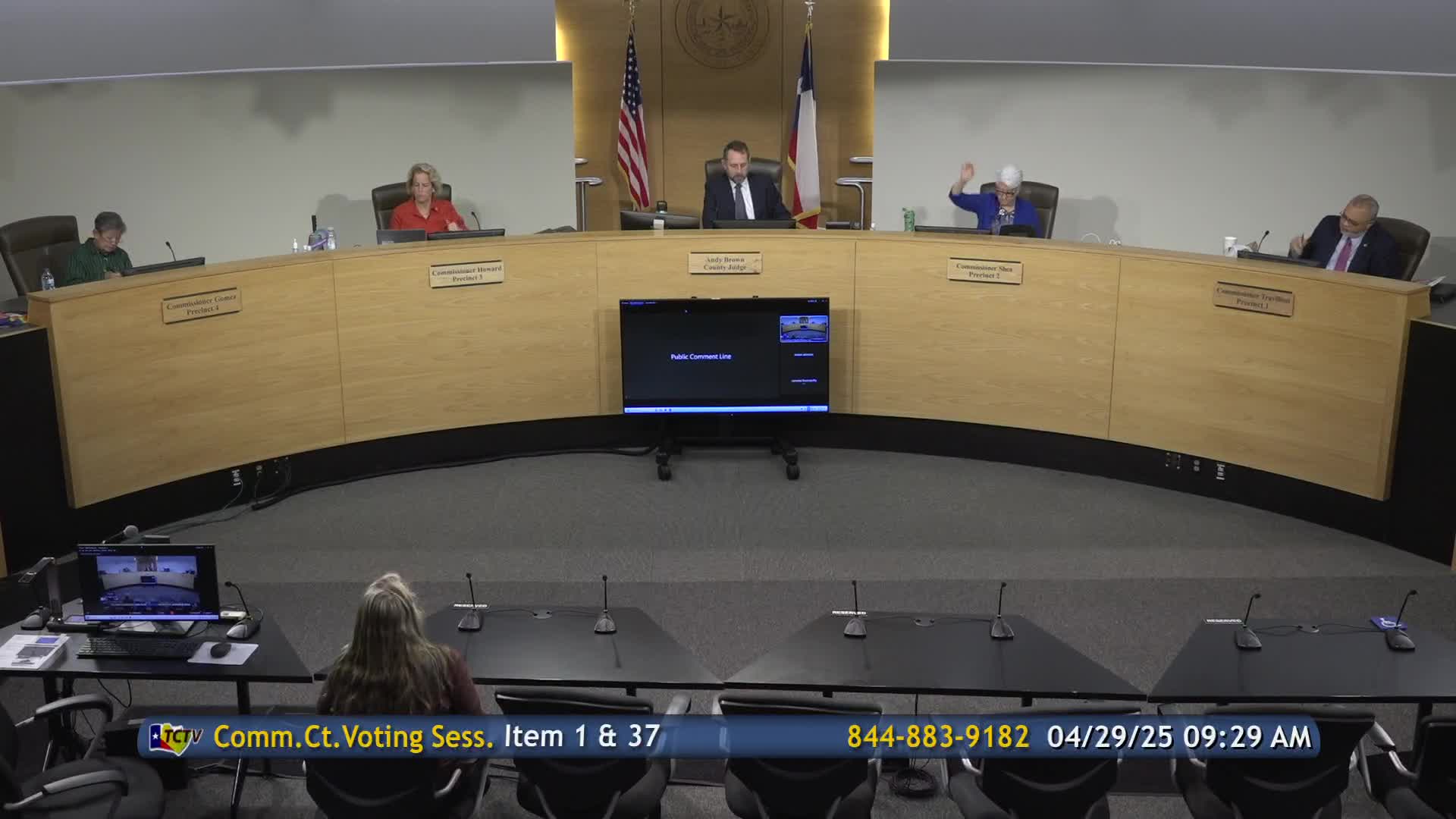
Travis County fire chiefs, the county fire marshal and StarFlight officials briefed the Commissioners Court on April 29 about wildfire preparedness, describing a multi-agency action plan that aims to improve response in the wildland-urban interface ahead of the 2025 season.
The officials told the court the plan formalizes ongoing coordination among the county’s emergency service districts, the Fire Marshal’s Office, the Office of Emergency Management and StarFlight. Chief Ken Bailey of ESD 11 said the effort emphasizes shared situational awareness, resource coordination and annual plan updates: “This plan fundamentally requires us to work together and for an annual review and revise this plan,” he said.
County Executive for Emergency Services Chuck Brotherton said the briefing included more granular detail than prior years and was timed to National Wildfire Awareness Month in May. Chiefs described three operational objectives — perimeter control, stopping forward progress and protecting structures — and said evacuation is often a mix of measures rather than a single action. Chief Bailey said the county now plans phased, focused and mass evacuation options and stressed law enforcement’s central role in managing road networks and preventing roadway gridlock during evacuations.
Officials described several specific tools and changes: daily coordination calls during high-risk weather days; new “task force” models (including a water-supply task force) to tailor responses; and an Esri-based real-time GIS wildland action plan shared across nearby counties to show perimeters, route options and water-drop coordinates for aircraft. County Fire Marshal Gary Howell described public outreach and a May social-media campaign and said the county has completed wildfire-risk assessments for 16 county facilities covering 30+ buildings and forwarded recommended mitigations to Facilities Management.
StarFlight leaders described aviation-specific support: pre-deployable 4,200-gallon “pumpkin” tanks for use where water is scarce and regular joint training to keep crews proficient in water drops and airborne firefighting operations. StarFlight and the county’s fire agencies said they would continue joint tabletop exercises this spring.
Commissioners pressed for clearer public-facing guidance on where residents should seek reliable evacuation information during incidents that involve multiple jurisdictions. Commissioner Alison Howard suggested the court develop a single “asset map” or instruction guide directing residents to reliable sources; several chiefs pointed to CAPCOG’s WarrenCentralTexas as an aggregate feed and said county and city social channels will also be used, but that incident-driven decisions about which channel to use will vary by jurisdiction and event.
The briefing concluded with unanimous thanks from the court to the chiefs and first responders. No formal action was taken on the briefing; officials said they will continue table-top exercises and public outreach through May.