Get Full Government Meeting Transcripts, Videos, & Alerts Forever!
Staff previews ArcGIS story map to track comp plan goals and implementation
Summary
Planning staff previewed a story map built with ArcGIS to visualize the comprehensive plan, annexations and goals, and commissioners asked staff to use the map as a public-facing tracker for one-year progress on the comp plan.
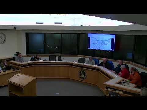
Planning staff presented a draft ArcGIS story map to the Planning and Zoning Commission on Jan. 13 designed to showcase the comprehensive plan, annexation history and implementation goals and to provide a public-facing progress tracker.
Sarah (staff member) demonstrated the story map's features, saying it combines historic maps, pins for points of interest and layers that show annexation dates and district…
Already have an account? Log in
Subscribe to keep reading
Unlock the rest of this article — and every article on Citizen Portal.
- Unlimited articles
- AI-powered breakdowns of topics, speakers, decisions, and budgets
- Instant alerts when your location has a new meeting
- Follow topics and more locations
- 1,000 AI Insights / month, plus AI Chat