Get Full Government Meeting Transcripts, Videos, & Alerts Forever!
Get email alerts on the Land Use Rezoning topic
No spam. Unsubscribe anytime.
Council rezones 255 acres south of 7 Hills Road for Strata underground commercial development
Summary
The Liberty City Council unanimously approved rezoning about 255 acres from agriculture to a Planned Development to allow an underground commercial project the developer described as about 4,000,000 square feet of gross underground space; final site details will come at plat and final development plan stages.
The Liberty City Council unanimously approved an ordinance to amend the city's official zoning map to rezone roughly 255 acres south of 7 Hills Road (near Southview Road and South 291 Highway) from agricultural to Planned Development to allow an underground commercial development proposed by Strata/its development team.
City staff said the proposal would repurpose an existing aggregate mine and allow an underground commercial buildout totaling about 4,000,000 square feet of gross underground space. Staff noted the project includes a new signal at the intersection of Southview Road and South 291 Highway, a paved and improved main entrance drive, a new northern portal into the underground area, and an emergency exit portal toward the western portion of the property. The developer will construct a stormwater maintenance area southeast of the new portal and extend a public sanitary sewer main to an off-site 18-inch sewer to the west; water service will connect to an existing 16-inch main on South Liberty Parkway to the north.
Why it matters: The project creates a new form of commercial space for the Liberty area ' underground warehouse, data center and light-manufacturing uses were mentioned ' while some surface parcels are shown in the city's comprehensive plan, Liberty Forward, as future single-family. Staff and the developer acknowledged that one emergency exit portal encroaches into the single-family-designated portion of the site; staff said final plat and final development plan review will define drive details, landscaping, tree removal, stormwater and utilities.
City planner Miss Sharp (identified in the meeting as 'Miss Sharp') told the council staff found the rezoning met the standards of review and recommended approval; the Planning Commission had voted unanimously in favor at its April 8 meeting. Council member Michael Hagan asked for clarification about an exhibit described in the packet; Miss Sharp said the exhibit was showing sight-line visuals and that no camera would be installed at the highway. Council member Harold Phillips asked what would remain above ground; Miss Sharp and the developer described existing piles of rock at the site, existing portals, landscaped berms, parking areas and that much of the surface would be covered with ground cover or remain undeveloped for now.
Developer presentation: Jeff Haney, of Haney Co KC, said the site has operated as an aggregate mine for about 10 years and that the mine openings and undermined space make the property suitable for 'in his words' a 'strata' commercial development. Haney said the project's gross underground footprint would be about 4,000,000 square feet and that the team expects to invest roughly $120,000,000 over a multi-decade buildout. He described likely uses including long-term storage, data storage and some light manufacturing and said interior improvements will emphasize LED lighting and white paint to improve visibility. "We're hoping to bring this to life and make it a . . . class A operation for underground development," Haney said during his remarks.
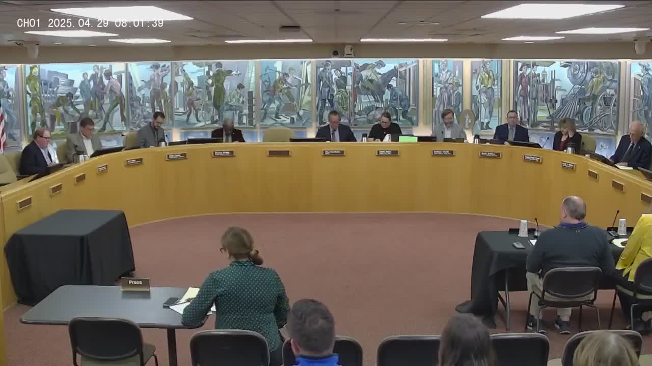
Public hearing and vote: The council opened and then closed the public hearing with no speakers. Council members moved to waive the usual rule requiring two readings and to consider the ordinance on first reading; the motions carried. On the motion to approve the rezoning ordinance, the council voted unanimously to adopt the change; the mayor approved the ordinance.
Next steps and limitations: Staff emphasized that the rezoning approves the planned development zoning only; all site-specific engineering, drive and landscaping details will be reviewed and approved later during platting and final development plan review. The council and staff also noted traffic, noise and lighting as potential impacts; staff said South 291 Highway was designed to accommodate increased capacity and the new signal will manage turning movements.