Get Full Government Meeting Transcripts, Videos, & Alerts Forever!
Committee hears plan to fund standardized school maps for first responders; experts recommend state GIS coordination
Summary
Supporters urged lawmakers to fund a School Safety Data Grant Program to create standardized, verified school maps for first responders. Vendors and advocates urged the state to use existing MassGIS and 911 standards and suggested grant funding for upfront costs.
Supporters of the School Safety Data Grant Program told the Joint Committee on Public Safety and Homeland Security that standardized, verified school maps would help first responders find the correct entrance, room and parking spot during critical incidents.
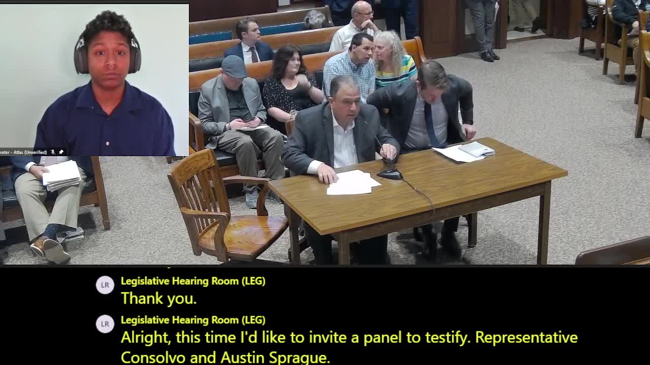
Representative Consalvo and Austin Sprague of Critical Response Group described how standardized, grid‑referenced maps reduce confusion in high‑stress, multi‑agency responses. "It's the only way we can communicate effectively," Sprague said, explaining military…
Already have an account? Log in
Subscribe to keep reading
Unlock the rest of this article — and every article on Citizen Portal.
- Unlimited articles
- AI-powered breakdowns of topics, speakers, decisions, and budgets
- Instant alerts when your location has a new meeting
- Follow topics and more locations
- 1,000 AI Insights / month, plus AI Chat