Get Full Government Meeting Transcripts, Videos, & Alerts Forever!
Get email alerts on the Shoreline Stabilization topic
No spam. Unsubscribe anytime.
Commission delays decision on Jones lake wall and steps, requests full survey and deed review
Summary
The commission continued Stu Jones's application to rebuild a 6‑foot lake wall and add 8‑foot steps after identifying a 10‑foot discrepancy in frontage pins and unresolved questions about a drainage pipe and possible town easement; the applicant must provide a full survey and staff will check aerial imagery and deed records.
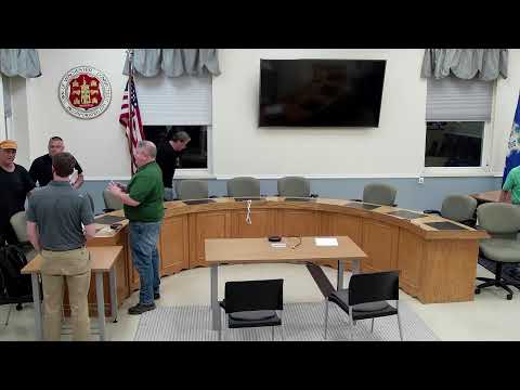
The Inland Wetlands and Watercourses Commission continued an application by Stu Jones (IWWC 25‑6) to rebuild a 6‑foot extension of an existing lake wall and install 8‑foot‑wide steps after commissioners raised questions about property lines, a drainage pipe and whether any town easement covers the outlet.
The matter matters because the site lies at the water's edge and the commission needs clear property‑line and easement documentation before approving work that could affect public land or neighboring waterfronts.
Karen Jones, representing the applicant, described the work as a 6‑foot wall extension with granite steps and a return at the wall end, and said the contractor plans frost protection pads under the stone. She said the work would extend the wall so the drainage pipe would exit outside the wall rather than under it. Commissioners and staff noted a survey excerpt that appears to show a 10‑foot difference in the front pins between the two neighboring properties, and they asked for a full survey copy. “If we get a copy of the full survey, which we'll provide to you guys later on screen, look at some aerial historic images, and, I'll go to the land records and compare what's on the survey to what's in the deed as well,” a staff member said.
Commissioners also noted timing: the work would be done during the lake drawdown, which is scheduled to begin Oct. 1, so there is time to resolve the questions. The commission asked the applicant to provide a full survey to staff in advance of the next meeting so copies can be distributed and displayed on screen, and staff said it will pull historic aerial imagery and deed records and check the survey notes for any listed easements. The commission moved to continue the application to the next meeting so the survey, aerials and deed research can be reviewed; the applicant was told he need not request an extension because the application was filed only the previous month.
The commission additionally asked staff to check whether any easement is shown on the survey notes and to contact a former surveyor known to have worked in the area if necessary. No approval or formal condition was adopted; the item remains continued pending the requested documentation.