Get Full Government Meeting Transcripts, Videos, & Alerts Forever!
Fairbanks North Star Borough unveils draft Tanana River flood maps; homeowners warned of insurance impacts
Summary
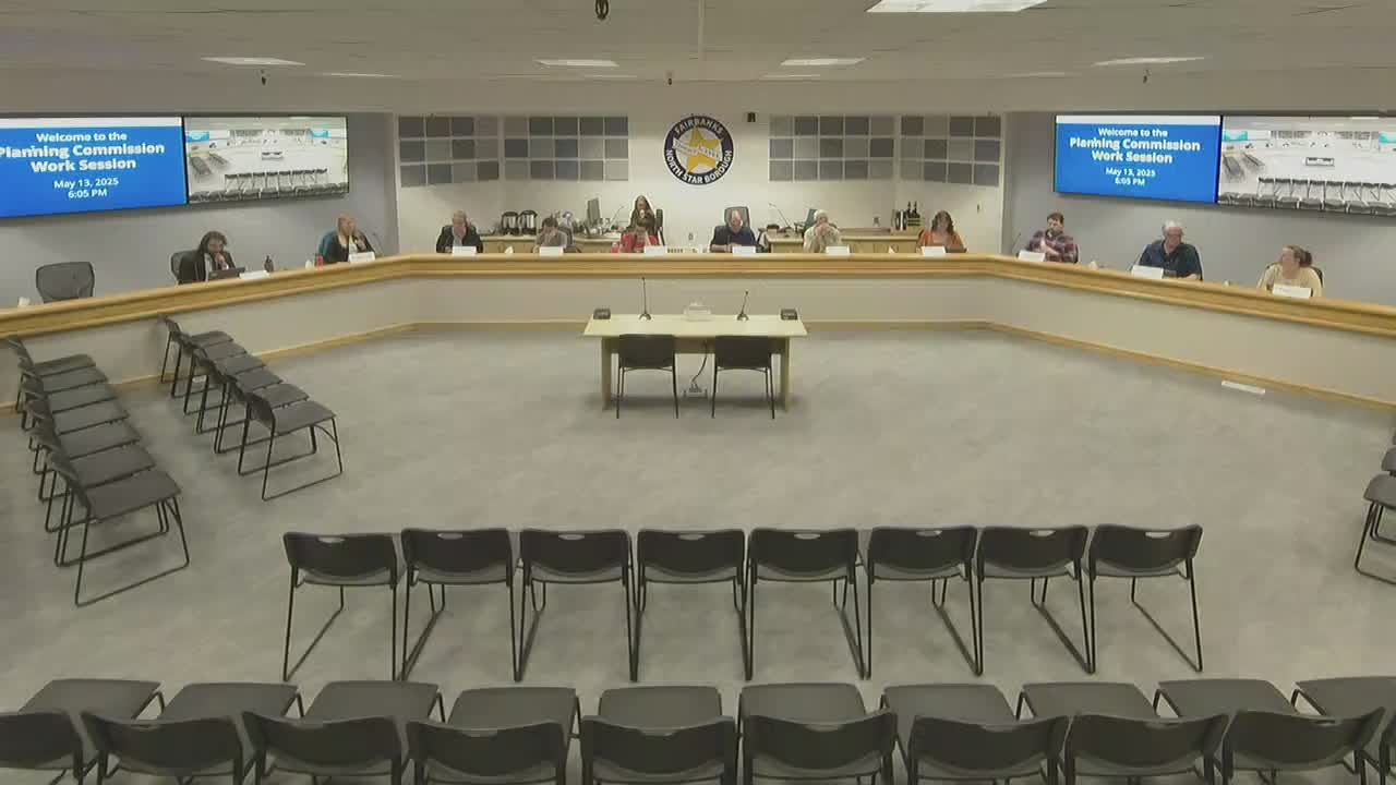
Adam Pruitt, the borough’s floodplain administrator, and planning staff briefed the Fairbanks North Star Borough Planning Commission on May 13 on preliminary Tanana River floodplain remapping and how the draft maps could change homeowners’ flood‑insurance and permitting obligations.
Adam Pruitt, the borough’s floodplain administrator, and planning staff briefed the Fairbanks North Star Borough Planning Commission on May 13 on preliminary floodplain remapping for the Tanana River and about 26 tributaries and how the changes affect homeowners’ flood insurance and permitting.
The briefing, part of the borough’s National Flood Insurance Program (NFIP) compliance work, explained that modern lidar elevation data and updated hydrologic and hydraulic modeling have changed where the borough and FEMA identify 100-year (1% annual chance) floodplain boundaries and base flood elevations (BFE). Staff emphasized the remap will remove many structures from high-risk zones while also adding some properties, and that the borough will begin broad public outreach in June.
Why it matters: Participation in the NFIP requires local regulation of development in mapped flood zones and affects whether federally backed mortgage holders must carry flood insurance. Staff said the changes could substantially lower costs for many property owners but will also bring new compliance obligations for some homeowners.
Most important details: Pruitt described the scope and methods behind the draft maps and the borough’s outreach plan. He noted the Tanana River study is the borough’s largest remapping project to date, building on prior work that used improved lidar data and two‑dimensional hydraulic models. "The Chena River was 6…
Already have an account? Log in
Subscribe to keep reading
Unlock the rest of this article — and every article on Citizen Portal.
- Unlimited articles
- AI-powered breakdowns of topics, speakers, decisions, and budgets
- Instant alerts when your location has a new meeting
- Follow topics and more locations
- 1,000 AI Insights / month, plus AI Chat