Get Full Government Meeting Transcripts, Videos, & Alerts Forever!
Get email alerts on the Flood Mapping Nfip topic
No spam. Unsubscribe anytime.
Fairbanks North Star Borough unveils draft Tanana River flood maps; homeowners warned of insurance impacts
Summary
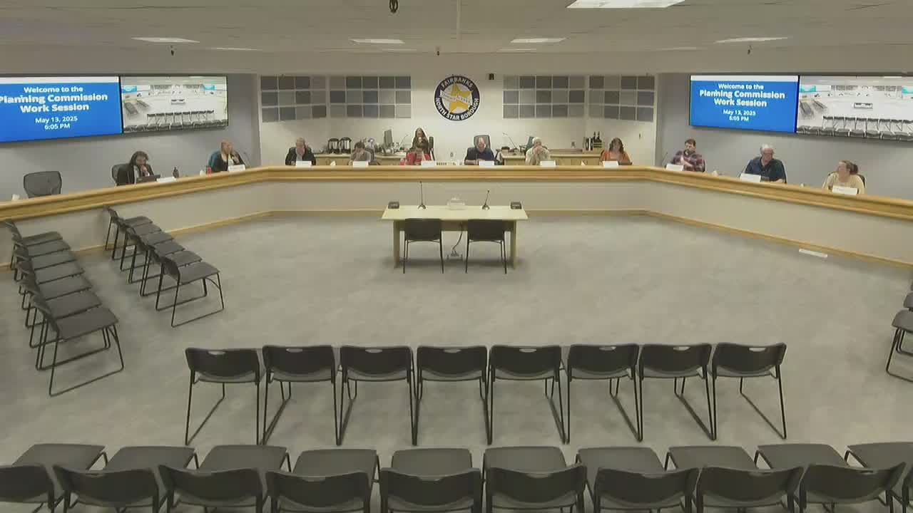
Adam Pruitt, the borough’s floodplain administrator, and planning staff briefed the Fairbanks North Star Borough Planning Commission on May 13 on preliminary Tanana River floodplain remapping and how the draft maps could change homeowners’ flood‑insurance and permitting obligations.
Adam Pruitt, the borough’s floodplain administrator, and planning staff briefed the Fairbanks North Star Borough Planning Commission on May 13 on preliminary floodplain remapping for the Tanana River and about 26 tributaries and how the changes affect homeowners’ flood insurance and permitting.
The briefing, part of the borough’s National Flood Insurance Program (NFIP) compliance work, explained that modern lidar elevation data and updated hydrologic and hydraulic modeling have changed where the borough and FEMA identify 100-year (1% annual chance) floodplain boundaries and base flood elevations (BFE). Staff emphasized the remap will remove many structures from high-risk zones while also adding some properties, and that the borough will begin broad public outreach in June.
Why it matters: Participation in the NFIP requires local regulation of development in mapped flood zones and affects whether federally backed mortgage holders must carry flood insurance. Staff said the changes could substantially lower costs for many property owners but will also bring new compliance obligations for some homeowners.
Most important details: Pruitt described the scope and methods behind the draft maps and the borough’s outreach plan. He noted the Tanana River study is the borough’s largest remapping project to date, building on prior work that used improved lidar data and two‑dimensional hydraulic models. "The Chena River was 6 feet above flood stage. In that month of August in 1967, there was triple the average of rainfall and 7,000 people were displaced from their homes," Pruitt said, citing the historic flood to underscore local flood risk and why updated mapping matters.
Staff said the borough has about 12,000 properties currently shown in high‑risk zones and that 21.5% of all parcels in the borough intersect a high‑risk area under current maps. Borough officials reviewed a prior remapping of Chena Badger Slough that removed 300 structures fully from the high‑risk designation and reduced exposure for about 450 additional structures; staff said that earlier project reduced unpaid flood‑insurance costs for property owners by millions of dollars. For the Tanana River remap staff provided a conservative projection, based on assumptions about structures, mortgage prevalence and premium levels, that the change could represent tens of millions in avoided flood‑insurance premiums for affected homeowners.
What’s new in the study: Staff described three technical improvements driving the draft maps: higher‑resolution lidar (approximately 10‑centimeter elevation accuracy), updated precipitation and hydrologic inputs, and modern two‑dimensional hydraulic modeling. Those combined data produce BFEs for tributaries where previous maps either lacked detailed elevations or relied on simplified methods (for example, a ‘‘top‑of‑bank plus three feet’’ heuristic previously used by FEMA in the borough).
Local impacts and examples: Staff showed an online comparison tool and a property lookup that highlights structures moving out of or into high‑risk areas. They said hundreds of structures in areas such as Eielson Farm Road and the Chena pump area are proposed for removal from the high‑risk zone, while some areas — notably Moose Creek and portions around Moose Creek tributaries — are shown to be newly included because of more detailed modeling of flows from those creeks.
Questions from commissioners focused on the magnitude of elevation changes and homeowner options. Commissioners asked whether a small elevation difference (for example, a foot) matters; staff replied that in the borough’s very flat areas, one foot can materially change whether a property is in a high‑risk zone. Staff also clarified that groundwater flooding (seepage from impoundment events) is treated differently from riverine surface flooding under NFIP rules and that a 1995 borough zoning overlay already restricts basements in areas known to be affected by past impoundment events.
Outreach and next steps: Staff said the borough will mail 8,000 postcards to property owners who are currently in, newly in, or being removed from special flood hazard areas and will hold multiple open houses in June (with internet‑connected computers at sessions so residents can view their parcels). FEMA will host or participate where possible. After the public release and comment/appeal period, FEMA may issue a Letter of Final Determination; the borough then has a six‑month window to adopt the new maps to remain in NFIP. Staff told commissioners they expect to return this winter with a formal adoption recommendation after the federal process and public meetings.
Staff cautioned that individual property impacts vary: properties built in compliance before a map change generally remain grandfathered unless they undertake a ‘‘substantial improvement’’ (an NFIP term staff summarized as an alteration whose cost exceeds a specified percentage of the structure’s value). Staff also described options available to property owners — individual elevation certificates, property‑specific technical reviews, and the formal FEMA appeal process — but said substantial appeals typically require professional hydrologic evidence.
The presentation materials and interactive map are live on the borough website and via a QR code printed on the mailed postcard. Staff encouraged commissioners to review the online tools and prepare for community questions during the outreach period.
Ending: The commission did not take action at the May 13 work session; this was a technical briefing and public‑engagement preview. Staff indicated the remap will proceed through FEMA’s review and a public appeal period before the borough returns with a formal adoption item.