Get Full Government Meeting Transcripts, Videos, & Alerts Forever!
Get email alerts on the Rezoning Development topic
No spam. Unsubscribe anytime.
Jefferson County planning panel deadlocks on rezoning for Bear’s Nursery site; project heads to county council
Summary
A 156-unit apartment project proposed for the former Bear’s Nursery property in Jefferson County drew detailed staff support and resident concern about flooding, utilities and safety. The Planning and Zoning Commission tied on a final vote, forwarding the rezoning and development plan to the County Council without a decision.
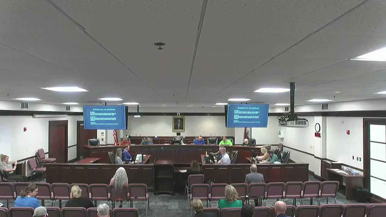
The Jefferson County Planning and Zoning Commission on a tied vote sent a rezoning and development-plan request for the former Bear’s Nursery site to the County Council after extended staff presentations, developer testimony and public objections.
In a staff presentation, Mitch Barnard, Planning Division staff, said the petition PR2250005 asks to rezone roughly 8.93 acres from Planned Commercial (PC2) to Planned Residential (PR2) and to approve a development plan for five buildings containing 156 apartment units. Barnard described the site as composed of three parcels that will be combined into one, bounded by Rock Creek to the north and Interstate 55 to the west, and said the development would be removed from the mapped floodplain through a FEMA Letter of Map Amendment (LOMAR) process.
The request would cap the project at 156 units (about 17.5 dwelling units per acre), provide 324 parking spaces (about 2.08 spaces per unit), and include amenities such as a pool, walking trail, fitness center, playground and dog area. Barnard said staff recommends approval with the conditions outlined in the staff report, including final site plan submittal, land-disturbance permitting, specific building-material standards (prohibiting corrugated steel and untextured concrete block as primary materials), a raised Old State Road profile to one foot above base flood elevation, and landscape and screening requirements.
Why it matters: The project would locate medium-density housing adjacent to a stream corridor and a major highway in a portion of Jefferson County where residents and nearby businesses said flooding, utility relocation and proximity to train tracks raise safety and infrastructure concerns.
Staff and applicant details Barnard said the earlier 2023 approval that rezoned the property to PC2 allowed a small office and storage buildings; the new petition would replace that with residential development. He summarized geotechnical, stormwater and floodplain expectations: all proposed fill must be compacted and tested and the applicant must demonstrate “no net impact” on floodwaters as part of the LOMAR and permitting processes. He also described requested modifications to parking-lot landscaping, proposed relocation of some plantings, and architectural requirements intended to improve the site’s frontage along I-55.
Christopher Johnson, attorney for the developer, said the applicant intends a “high-end” product and provided proposed rent rates: $1,350 for one-bedroom units, $1,650 for two-bedrooms and $1,950 for three-bedrooms. Johnson told commissioners that the developer has previously completed similar projects in the county and that traffic modeling shows minimal operational impact at peak hours.
David Von Arcs, the project engineer, described the three-step LOMAR and floodplain-permit process and said the portion of the site proposed for fill is outside the floodway and would be compacted and tested to engineering standards. Von Arcs said the process can produce a conditional letter of map revision and that a full set of surveys and compaction documentation must be submitted to FEMA and the county prior to final approvals.
Public concerns and testimony Several nearby residents and a neighboring landowner spoke in opposition or with concerns. Dan Goldrow of Goldrow Land Services told the commission the property and adjacent areas flooded during the 2015 and 2019 events and asked that compaction and stormwater measures be verified. He also warned of unmarked fiber-optic utilities on the site that contractors must avoid.
Dede Remspeker, a Windsor School-area resident, questioned the long-term housing outcome, asking, “How long is it luxury before it turns into Section 8?” and raising worries about school overcrowding. Lisa Ernst, who owns a business on Old State Road, said proximity to train tracks, the highway and steep creek banks made residential use risky and said she feared damage to her recently purchased business property. Courtney Hirsch, another nearby resident, said she worried that raising the site would force water onto lower neighboring parcels.
Commissioner questions and staff clarifications Commissioner Mike Seibert pressed staff and the applicant about elevations and whether the raised access road would be brought up to one foot above the base flood elevation (Barnard answered yes, citing the county and MoDOT guidance). Barnard said the county requires buildings be three feet above the base flood elevation and that public-works requirements call for the access centerline to be increased to the specified elevation (staff cited a base flood elevation of 413.9 feet in the presentation).
Barnard and Von Arcs reiterated that no work is proposed within the mapped floodway or stream buffers, and that stream-buffer variances would not be supported by staff. Von Arcs said the channel along Interstate 55 is a trapezoidal MoDOT drainage channel and that the development would avoid work in the stream bed.
Traffic and emergency access Staff presented a traffic impact study showing projected AM and PM peak trips (71 AM, 88 PM) and concluded the single access along Old State Road would meet acceptable levels of service with the planned controls and intersection improvements. Commissioners asked whether one point of access was adequate for a development of this size; Barnard and the fire marshal said they had discussed the design and that the fire district had indicated the proposed access and design were acceptable.
Vote and next steps Commissioner Shearer moved to approve PR2250005 as presented by staff; the motion was seconded. By roll call the votes recorded were: Mike Husky — no; Johnson Sparks — yes; Jesse Stewart — yes; Jeffrey Sprawl — no; Chris Minster — yes; Mike Seibert — no. That produced a 3–3 tie. Because the commission did not reach a majority decision, the application is forwarded to the Jefferson County Council for final action with no decision by the Planning and Zoning Commission.
Clarifying details and outstanding items - Floodplain process: The applicant must complete FEMA’s LOMAR process and obtain county floodplain and land-disturbance permits; geotechnical compaction testing will be required for any fill used to raise the road or building pads (described by David Von Arcs and Mitch Barnard). - Parking: Staff stated a total of 324 parking spaces (about 2.08 per unit); an earlier staff-report number (345) was corrected in the presentation. - Landscaping modifications: The applicant requested reduced plantings along Rock Creek; staff recommended relocating the balance to other parts of the site and requires minimum canopy-tree plantings along parking perimeters subject to director approval. - Utilities: Neighbors said fiber-optic conduits cross the site and must be located and avoided or relocated during development; utility relocation is a standard part of later-stage engineering and permitting. - Safety: Neighbors requested additional screening or fencing along the railroad right-of-way to prevent children from accessing the tracks; the applicant said the county will be consulted on any additional safety measures.
What’s next: The County Council will consider PR2250005 at a future meeting; the Planning and Zoning Commission record, staff report and the applicant’s revised site and architectural plans will accompany that consideration.