Get Full Government Meeting Transcripts, Videos, & Alerts Forever!
Get email alerts on the Growth Framework Map Agriculture topic
No spam. Unsubscribe anytime.
Resident urges keeping Highway BB area out of urban growth designation, cites floodplain and agriculture
Summary
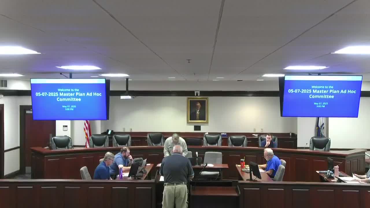
A resident asked that the area near Highway BB be removed from the master plan's urban growth area, saying much of the land is in floodplain and still used for agriculture; the committee noted the growth framework map pagination changed in the new draft and could be found on page 37.
A resident asked the committee to remove an area around Highway BB from the draft master plan's urban growth area, saying the land is largely floodplain and in agricultural use.
The speaker said he previously submitted a map highlighting the area and suggested moving the urban growth boundary toward House Springs Road instead. Committee members and staff confirmed that the growth framework map had been renumbered in the new draft (the page moved from 35 to 37 on the revised draft) and that no substantive land-use changes had been made in that particular area since the last review, other than page numbering and an adjustment near Highway 67 / Olympia Village that had been discussed previously.
The resident emphasized the importance of preserving agricultural land and warned against converting flood-prone farmland to rooftops, saying agricultural land "feeds the country." The committee acknowledged receipt of submitted maps and encouraged staff to confirm whether the map the resident referenced was incorporated into the materials for review.
Planning staff noted they had the committee's meeting minutes and public comments on file and said they would review the resident's map and the growth framework page references as part of the revision process.