Get Full Government Meeting Transcripts, Videos, & Alerts Forever!
Get email alerts on the Belred Look Forward topic
No spam. Unsubscribe anytime.
Bellevue Planning Commission reviews Bel-Red "Look Forward" land‑use code amendments
Summary
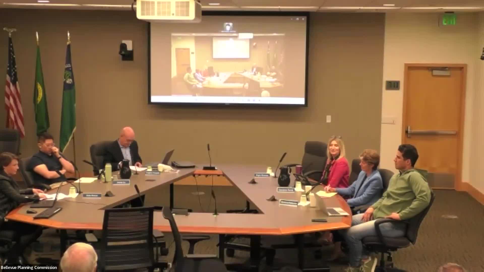
Bellevue Planning Commission members received an informational briefing Wednesday on the Bel‑Red Look Forward land‑use code amendment (LUCA), a staff effort to implement policies and map changes adopted last year in the Bel‑Red Subarea Plan.
Bellevue Planning Commission members received an informational briefing Wednesday on the Bel‑Red Look Forward land‑use code amendment (LUCA), a staff effort to implement policies and map changes adopted last year in the Bel‑Red Subarea Plan.
City planners said the LUCA will create new and revised land‑use districts, raise allowable floor‑area ratios (FAR) and heights near light‑rail stations, revisit local street‑grid requirements for flexibility, and add code tools to support artist space, stream restoration opportunities and transfer‑of‑development‑rights arrangements with King County.
Christina Gallant, the city’s code and policy planning manager, opened the briefing and Josh Steiner, senior planner in Development Services, walked commissioners through the scope and schedule. Steiner said the LUCA is “an opportunity to recognize Bel‑Red as an area of transformation from an industrial area to more of a transit‑oriented neighborhood,” and noted the project’s purpose is to implement the subarea plan rather than rewrite the code from scratch.
Why this matters: the comprehensive plan and Bel‑Red policies expect substantial growth near light rail. Staff told the commission the city’s planning targets include major additions to housing and jobs that will disproportionately affect Bel‑Red development capacity, so the LUCA is intended to align zoning with those expectations and remove implementation barriers identified since the subarea plan was adopted.
Key elements presented by staff include: revised land‑use districts with higher base FAR and height close to station areas; retention and refinement of the Bel‑Red arts‑intensive area with provisions for live/work and maker spaces; a renewed transfer‑of‑development‑rights (TDR) program under discussion with King County; code changes to allow stream daylighting and to coordinate regional stormwater and stream restoration work; and updates to the streets plan to provide multimodal connections and pedestrian‑oriented frontages.
Staff described an engagement plan that includes outreach to property owners, developers, residents, arts organizations and other city departments, and a draft LUCA presentation to the Planning Commission in summer with the project scoped to conclude by the end of 2025.
Commissioners asked for more detail on several topics they said will affect neighborhoods and implementation: where the street grid would be built versus retained, the percentage of new green/open space and how it would be provided, tree canopy impacts, how the code would protect or create affordable artist housing, and how small or irregular parcels (the “jagged sites” staff referred to) would be treated to encourage redevelopment rather than obstruct it. Steiner and Gallant said staff will return with more analysis and options.
Commissioners and members of the public also raised utility, stormwater and stream buffer interactions with the city’s forthcoming Critical Areas Ordinance; staff said the LUCA and the Critical Areas Ordinance are being coordinated but the ordinance will govern buffer and stream protections.
Next steps: staff said they will continue internal coordination and external outreach, incorporate feedback, and return with a draft code for Planning Commission study sessions and a future public hearing. No formal action or vote on the Bel‑Red LUCA was taken at the meeting.
Ending note: commissioners emphasized targeted outreach to artists and small businesses in the Bel‑Red arts district and requested visuals (massing or height comparisons) and data (how much previously entitled capacity has been built) when staff returns so neighborhoods can better understand trade‑offs between new capacity, tree canopy, and open space.