Get Full Government Meeting Transcripts, Videos, & Alerts Forever!
Get email alerts on the Aerial Imagery And Property Assessment topic
No spam. Unsubscribe anytime.
EagleView demonstrates high-resolution aerial imagery and software for Warren County assessment and public safety use
Summary
EagleView sales representative Jonathan Bridal showed the Board software and 1‑inch and 3‑inch aerial imagery options, discussed integrations with assessors, GIS and public‑safety CAD systems, disaster flight support and training, and answered questions about pricing, refresh cycles and privacy.
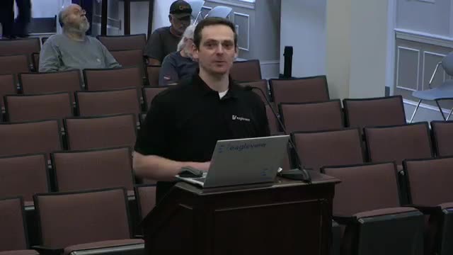
Jonathan Bridal, a district manager for EagleView, told the Warren County Board of Supervisors on April [date not specified] that EagleView provides oblique and ortho aerial imagery and analytics that can be licensed by counties for property assessment, public safety and GIS work.
Bridal said the company, formerly Pictometry, has “a little over a thousand employees” and an imagery library covering more than 94% of the U.S. population. He described a commercial software, Connect Explorer, and mobile apps that let users view oblique (side‑angle) and ortho (top‑down) imagery, measure structure heights, compare imagery across years and run change‑detection tools.
Board members and staff pressed Bridal on operational details and costs. He said imagery flights are done with fixed‑wing aircraft and that counties control refresh cadence; many Virginia localities choose biannual captures or annual updates, usually flown in leaf‑off months to aid assessment work. Bridal also described a disaster response program that, he said, “we will fly that disaster for you free of charge … up to 200 square miles” under a contract.
On integration and access, Bridal said county employees with county e‑mail addresses can be given accounts and that EagleView supports “200 plus” integrations with CAD, camera and GIS vendors, including Esri; he noted EagleView does not bill other vendors for an integration but those vendors sometimes charge separately. He described an optional change‑finder product that compares two image libraries to highlight additions such as pools, patios or paved drives and said the company can use parcel data to match changes to properties.
Bridal gave a rough pricing example tied to square miles (“1‑inch, let’s say it’s $400 per square mile” and added that actual quotes vary), said user licenses under the company’s cloud subscription are unlimited, and described training and a free flight after qualifying disasters as standard contract elements. He also addressed privacy concerns, noting oblique imagery shows people but “you can't identify these people” from the captures he showed.
Why it matters: high‑resolution aerial imagery can speed desk assessments, reduce some field visits and give emergency responders georeferenced views across jurisdictional boundaries. The board did not take any formal action at the meeting.
The vendor’s presentation lasted about 30 minutes and prompted technical follow‑ups from staff and supervisors about integration costs, potential shared funding among county departments, and licensing options.
Looking ahead: County staff indicated the reassessment contract renewal would be discussed at a future meeting; the vendor presentation was informational and no contract was approved or rejected at this session.