Get Full Government Meeting Transcripts, Videos, & Alerts Forever!
County discusses Highway Corridor Overlay District for Route 60, including setbacks, signage and pattern-book review
Summary
Powhatan County planning staff presented a draft Highway Corridor Overlay District for Route 60 that would add setback zones, monument-sign standards, a connection zone for shared access, and pattern-book design review; staff asked commissioners whether industrial buildings should be subject to the same design oversight as commercial projects.
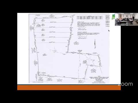
Powhatan County planning staff presented a draft Highway Corridor Overlay District (HCOD) aimed at shaping development along the Route 60 corridor from Maidens Road to the Chesterfield County line. The overlay would apply additional design and access standards on top of underlying zoning to protect corridor function, require interparcel connections, and create a consistent appearance along the highway.
The proposal described a multi-zone cross-section for the corridor: a 200-foot right-of-way zone in many places, a 24-foot easement zone for utilities adjacent to the right of way, a 30-foot monument zone for landscaping and monument signs, a 46-foot connection zone to accommodate shared drives and single-loaded parking, and a building zone set back a minimum 100 feet from the corridor median under the draft language. Staff said those elements are intended to reserve space for future widening, utilities and pedestrian connections while keeping buildings farther from the travel lanes.
Why it matters: The overlay would change how new commercial, industrial and institutional development near Route 60 is designed and reviewed. Staff recommended…
Already have an account? Log in
Subscribe to keep reading
Unlock the rest of this article — and every article on Citizen Portal.
- Unlimited articles
- AI-powered breakdowns of topics, speakers, decisions, and budgets
- Instant alerts when your location has a new meeting
- Follow topics and more locations
- 1,000 AI Insights / month, plus AI Chat