Get Full Government Meeting Transcripts, Videos, & Alerts Forever!
Get email alerts on the Smithfield Intersection topic
No spam. Unsubscribe anytime.
County posts 60% design for Smithfield intersection; public hearing, right‑of‑way and drainage highlighted
Summary
Jamie Oliver, transportation administrator, presented the county’s 60% design for the Smithfield intersection project and opened a roughly 30‑day public comment window ahead of a scheduled public hearing.
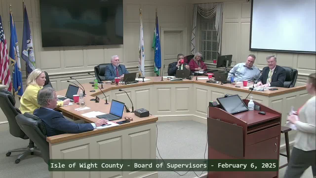
Jamie Oliver, Isle of Wight County transportation administrator, briefed the Board of Supervisors on Feb. 6 on the Smithfield intersection project and the county’s 60% design package ahead of a scheduled public hearing.
Oliver said the 60% plan introduces a second through lane in each direction through the intersection, extends left‑turn lanes and adds a separate right‑turn lane in several approaches. “So this we're getting 2 new lanes from what we already have,” Oliver said, describing the conversion of an existing right‑turn lane to an additional through lane and the lengthening of left‑turn storage.
The nut: the project will require right‑of‑way acquisition in several parcels, include storm‑water drainage improvements and a proposed storm‑water pond near Quail Street; the county has contacted most impacted property owners and posted the full 60% plan set and NEPA/environmental documentation on its website for a roughly 30‑day public comment window ahead of the hearing.
Oliver summarized design choices: the plan shifted the alignment north to reduce utility impacts, will close one Powerhouse storefront entrance and reroute buses to Pole Road with restriping of the park‑and‑ride lot, and proposes curb, gutter, sidewalks and pedestrian improvements. The proposed pond is expected to be maintained by VDOT; Oliver said the design team observed groundwater monitoring wells and that, based on drainage study work so far, the pond should “significantly improve the situation in that area.”
Oliver said the design team is coordinating with the nearby Grange redevelopment project; the current design assumes the Grange will not require a right‑in/right‑out driveway for a proposed hotel — if the hotel requires a right‑in/right‑out access, the length of turn lanes would be reduced and intersection capacity would be constrained. He also reported coordination with federal and state review agencies on historic resources, hazmat, threatened species and tribal consultation; the full environmental package and agency comments are available online.
Pedestrian provisions under consideration include push‑button pedestrian signals parallel to the highway; Oliver said perpendicular crossings were not proposed at this location because of operational impacts and safety concerns, and suggested exploring crossing points further into town or nearer the school. The design team is also “exploring the charging stations” but said electrical infrastructure complicates installation.
Oliver said the county is accepting public comments now, will record comments during the public hearing, and will log and respond to public comments as required by Federal Highway Administration procedures before moving into right‑of‑way acquisition. He indicated construction is expected to begin in late 2026 and finish in 2028, subject to final design and right‑of‑way processes.
The presentation was informational; no vote was required of the board at this work session. Supervisors asked specific questions about transitions near Powerhouse, storm‑water pond fencing and potential FEMA limitations for nearby lots; Oliver responded with design rationale and referenced posted drainage and NEPA documents for detailed review.