Get Full Government Meeting Transcripts, Videos, & Alerts Forever!
Get email alerts on the Site Plan 1 Howard 38 Park topic
No spam. Unsubscribe anytime.
Planning board approves 1 Howard/38 Park site plan with condition to secure public access easement
Summary
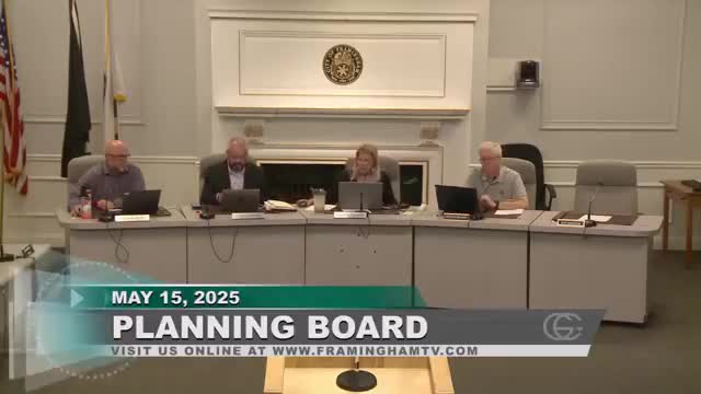
The Framingham Planning Board voted to approve the major site plan review and associated special permits for 1 Howard Street and 38 Park Street on May 15, 2025, provided the applicant works with the city solicitor to develop a legal plan ensuring public access through an existing narrow right-of-way.
The Framingham Planning Board voted to approve the major site plan review and associated special permits for 1 Howard Street and 38 Park Street on May 15, 2025, provided the applicant works with the city solicitor to develop a legal plan ensuring public access through an existing narrow right-of-way.
Board members said the project responds to many prior design and infrastructure concerns and noted the applicant’s offer to convey or assign a five-foot easement intended to form part of a connection to the Upper Charles Rail Trail. The board also said the ownership and recorded rights over that strip must be legally clarified before the city issues a building permit.
The board’s discussion focused on property-title details and competing rights. Planning board members and the city’s counsel described a complex sequence of recorded reciprocal rights: the applicant and the adjacent Franklin Street property each have reciprocal five-foot rights that together create a 10-foot maneuvering area, but survey research indicated the applicant may only own two to four feet of unencumbered land at the narrowest point. An applicant representative told the board, “we have rights to that full area that’s shown in the hashed” plan and explained there is “a reciprocal easement between our parcel and the Franklin Buildings,” allowing shared use of the combined area. City counsel warned the board that the city cannot accept an easement that leaves competing rights unresolved and recommended the parties “clean it up legally, so that the city actually gets a right of way that they can put the bike path through, and not have to worry about competing claims.”
Board members and counsel identified several ways to resolve the issue, including the applicant purchasing additional right-of-way from adjacent owners or moving the proposed building footprint to create more unencumbered land on the applicant’s side. The applicant said shifting the building is impractical given construction-access needs and minimum clearances for scaffolding and equipment. One planning board member summarized the practical compromise the board would require: demonstrate control over the five feet the applicant proposes to grant before issuance of a building permit. The applicant committed to “work with [the] city solicitor to make that determination” and the board added a condition to the approval requiring the applicant to coordinate with the city solicitor’s office on a plan granting public access (the board’s phrasing allowed for a right-of-way or easement as legally appropriate).
Formally, the board approved the major site plan review and the following special permits for multifamily use in the Central Business District, land disturbance and stormwater management, reduction in parking, and inclusionary housing provisions, with standard conditions and the added public-access condition. The board removed an earlier-listed dimensional reduction item. A roll-call vote recorded unanimous approval from the members present.
The board also corrected a technical condition in the materials: a staff member noted that an earlier reference stating the project would increase stormwater discharge to Farm Pond no longer matched the revised plan, which now shows a slight decrease in volume. The board accepted that correction as part of the final conditions.
The applicant indicated construction is ready to proceed; the board closed the public hearing and finalized its findings with the public-access condition and other standard provisions.
Ending: The approval advances the project toward permitting while leaving the narrow but critical question of title and rights over the path into the Upper Charles Rail Trail to a legal-resolution step with the city solicitor and the applicant.