Get Full Government Meeting Transcripts, Videos, & Alerts Forever!
Get email alerts on the Comprehensive Plan topic
No spam. Unsubscribe anytime.
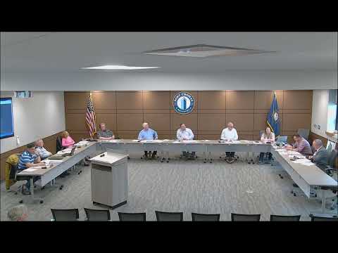
Fort Thomas planning commission begins multi‑month update of city comprehensive plan
Summary
The Fort Thomas Planning Commission opened a months‑long review of the city’s five‑year comprehensive plan on April 16, validating existing research and identifying targeted updates to land‑use, transportation and parks elements; the commission also approved March meeting minutes by voice vote.
The Fort Thomas Planning Commission on April 16 began a multi‑month review of the city’s comprehensive plan, agreeing to validate the 2018 plan’s research and to return next month with proposed map updates and supplemental data before a public hearing and formal action.
The commission’s opening discussion, led by Kevin Barbian, planning staff, emphasized that the comprehensive‑plan update is a periodic review required every five years under Kentucky law and is expected to be completed through staged meetings, an addendum (if needed) and a public hearing. “This process is going to take a few months. So we're going to have another meeting next month, hopefully, on this, and then we'll have a public hearing,” Barbian said.
Why it matters: The comprehensive plan guides long‑range land use, transportation, parks and community facilities decisions. Commissioners framed the current work as a validation of prior research rather than a wholesale rewrite; changes would be targeted to maps and specific elements that no longer reflect conditions on the ground.
Key outcomes and next steps - The commission voted, by voice, to approve the March meeting minutes. The motion and second were recorded; the meeting transcript records the ayes but does not list mover/second by name or individual vote tallies. - Commissioners directed staff to return with targeted updates at the next meeting, including current demographic data, a comparison between the newly adopted Unified Development Ordinance (UDO) zoning and the comp‑plan land‑use map, and updated transportation maps. Barbian said staff will provide additional materials and that the commission will hold a public hearing later in the process.
Discussion highlights - Population and economic outlook: Barbian summarized population figures discussed in the packet—2018 population 16,425; 2024 figure 16,823—and cited a World Population Review projection of 16,100 by 2029. He told the commission Fort Thomas is a built‑out community and does not expect large population swings that would require major new service capacity. A commissioner recommended using the Kentucky State Data Center (University of Louisville) as the state’s official repository for census data.
- Employers and risks: Commissioners discussed the local employment base and noted that closing of any major employer, particularly the St. E’s hospital campus, would be the single largest risk to city employment. Barbian and commissioners said they have had periodic conversations with hospital and VA representatives; the VA has expressed interest in formalizing parking leases and continuing operations in the medium term.
- Land use, maps and city property: Commissioners asked staff to identify municipal parcels that appear on the land‑use map but are unlikely to be developed (paper streets, steep wooded parcels), and to consider showing some city‑owned parcels as permanent green space. The Carlisle property on the west side of Memorial was noted as an ongoing council discussion; Barbian said drainage and cost are principal constraints.
- Transportation and trails: Commissioners requested that staff include current functional classifications (OKI/KYTC designations) and an updated transportation map; they discussed a previously proposed road‑diet and wider multiuse path on Grand Avenue, changes to bus service and implications for non‑automobile users, and regional trail planning tied to the Southbank Riverfront Commons planning grant.
Parks, riverfront and grants Commissioners reviewed recent park investments—tennis court resurfacing proposals, disc golf, pickleball courts and improvements to Tyre and Tower parks—and discussed limited opportunities for built infrastructure along the riverfront because of flood exposure. Barbian noted earlier trail planning work (Booker & Associates and Parsons Brinckerhoff) and said the city has pursued grants and partnerships on riverfront design with regional partners.
Public comment Resident Steph Chalk (21 Lafayette Ave.) urged the city to identify the original data sources for demographic figures and to open communications with St. E’s hospital now to learn of any long‑term plans. “I'm just curious of what the the city source was for data because you could have possibly more timely data than Louisville would,” Chalk said.
Context and process notes Barbian reminded the commission that the 2018 document was produced through an extensive public engagement process with six topical working groups; the commission agreed the upcoming update should focus on validating prior research, updating maps, and preparing an addendum rather than producing a full new vision plan. Commissioners expressed interest in a GIS exercise to compare comp‑plan land uses to current UDO zoning as part of the update.
Ending The commission did not take final action on land‑use or zoning changes. Staff will assemble the requested data and map comparisons and bring those materials to the next commission meeting; a public hearing will be scheduled later in the update process.