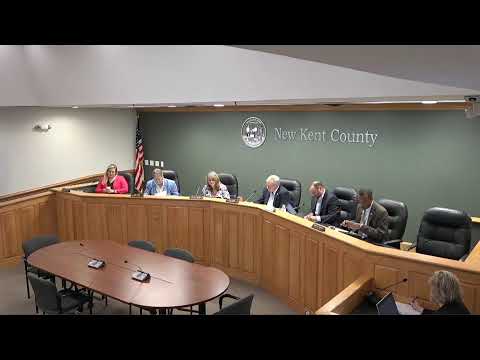
New Kent authorizes GIS study to identify potential data center locations
Summary
The board authorized the county administrator to contract with Dewberry engineers for a GIS‑based analysis of existing county sites and appropriated $16,000 from contingency to fund the study; the board emphasized the study is exploratory and not a zoning decision.
The New Kent County Board of Supervisors on April 20 authorized the county administrator to execute a contract with Dewberry engineers for a GIS‑based analysis to identify county sites that could accommodate data center development, and appropriated $16,000 from contingency to fund the study.
County staff said the study will catalog existing sites with utility infrastructure, evaluate “highest and best use,” and produce information the county can use to consider a technology‑zone overlay district in the future. The presenter emphasized the study is exploratory and does not itself change zoning or approve any development.
Supervisor Moyer moved to authorize the contract and to appropriate $16,000 from the contingency budget line; the board voted unanimously. Questions from supervisors focused on whether the consultant would identify only existing sites with utilities and whether the firm had experience with similar studies; staff said the firm has worked for other localities and that the county would retain veto authority over any recommended sites that did not fit the comprehensive plan.
The board’s vote funds an initial analysis the county says is intended to help guide future land‑use decisions; any overlay district or zoning changes would require separate action.
AI generated
The text on this page is AI generated. Summaries, highlights, analysis, and video transcripts are all produced from the original source material.
AI can make mistakes, so if you spot one, and we will fix it for everyone.
Note: the source content is unaltered by us. Any content source we link to, be it a video, an audio recording, or a document, is presented exactly as its publisher released it. That publisher is usually a government body, sometimes an individual official or another organisation.