Get Full Government Meeting Transcripts, Videos, & Alerts Forever!
Get email alerts on the Drainage topic
No spam. Unsubscribe anytime.
Parish plans unified drainage model and manual to guide development and funding requests
Summary
Parish staff said gravity drainage districts are completing higher-resolution LiDAR and hydraulic models that will be consolidated into a single parish model and drainage manual to standardize permitting, reduce conflicts across district lines and support funding applications.
Parish staff told council members the parish is consolidating multiple drainage models and adopting a unified drainage manual and standards so developers, districts and the parish use the same data and rules.
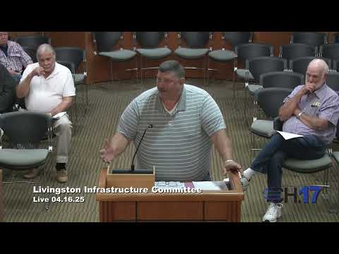
Robert Dugas, a parish staff member, said drainage work funded through an Office of Community Development (OCD) grant has completed two channels and begun three more, and that the current focus is lateral ditching and smaller canals that feed main channels. "We're in phase 1, coming up with, you know, some stuff on phase 2. We're trying to get, some of the where we have gotten work orders in the past for lateral ditching," Dugas said.
Why it matters: Officials said a single, parishwide hydraulic model and a consistent drainage manual will give planners and engineers the tools to test the impact of new development on downstream neighborhoods, make the parish more competitive for targeted funding and avoid inconsistent standards across drainage-district boundaries.
What staff described
- Gravity drainage districts: Dugas said District 1 has completed its model, District 2 is close and District 5 has begun LiDAR work. He said district-level LiDAR and modeling are more detailed than regionwide data sets and will allow more precise local analysis.
- Consolidation of modeling: Dugas said parish staff is collecting modeling from the Amite River Basin Committee (referred to during the meeting), the Louisiana Watershed Initiative (LWI) and the U.S. Army Corps of Engineers to assemble a unified parish model and to avoid duplicative work for developers.
- Drainage manual and unified development code: The parish has revised a drainage manual and is moving toward a unified development code so that developers face consistent standards across drainage-district lines; that is intended to prevent a subdivision from meeting one district's standard on one side of a lot and a different standard on the other.
- Use for permitting and funding: Dugas said parish planners want developers to submit digital model outputs so staff can plug proposed developments into the parish model and assess downstream effects; he said having that technical data will also help the parish pursue project-specific funding.
Ending
Dugas characterized the consolidated model as a critical tool for permitting and pursuing grants: "This will be one model that everybody's gonna be able to run," he said. Council members asked staff to continue coordination with drainage districts and to return with implementation steps.