Get Full Government Meeting Transcripts, Videos, & Alerts Forever!
Get email alerts on the Urban Growth Boundary topic
No spam. Unsubscribe anytime.
Coos Bay planners weigh Regional Problem Solving route to adjust urban growth boundary
Summary
Consultant Jay Harland presented Regional Problem Solving (RPS) as the likely technical path to bring several already-urbanized unincorporated areas into the Coos Bay urban growth boundary or designate them as urban reserve; commissioners discussed trade-offs including facility planning costs, parcel-level analysis and sewer capacity.
Coos Bay city and Coos County planning commissioners spent a lengthy work session considering whether to pursue a Regional Problem Solving project to adjust the urban growth boundary (UGB) and add or reserve land around Charleston, Barview, Bunker Hill and other nearby unincorporated areas.
The proposal matters because several areas near the city are already built to urban densities but lie outside the UGB; bringing them in through an RPS project or designating them urban reserve would change regulatory constraints and require facility planning, consultants said.
Jay Harland, consultant with CSA Planning, told the joint meeting that RPS—codified in ORS 197—offers flexibility from some statewide rules while still requiring compliance with statutes and statewide planning goals. “RPS is a statute that’s in ORS 197,” Harland said, describing the option as a technical path that has been used once previously in Oregon and could be appropriate in Coos Bay’s case.
Harland laid out four core regional problems the technical work addresses: the way 20-year population forecasts (from the Portland State University Center for Population Research) are translated to land need; how boundary-location factors under Division 24 operate; the fact that some already-urbanized lands outside the UGB are not captured in PSU forecasts; and restrictions on commercial development in urban unincorporated communities and rural communities.
Among the practical trade-offs Harland presented: maintaining current regulations requires less upfront work but limits commercial and redevelopment opportunities; doing a narrow RPS amendment for Charleston and Barview would be comparatively straightforward but would not add much net buildable land; including exception areas such as Libby and Blossom Gulch would add the most buildable land but carries the highest facility-planning and infrastructure costs.
Harland recommended a “middle” approach: include Charleston, Barview and Bunker Hill in the UGB amendment and designate some or all exception-area lands as urban reserve. He said urban reserve designation preserves county rules for now while making those parcels the first priority for future UGB additions, and that urban reserve planning is done on a roughly 50-year demand basis.
Commissioners and members of the public asked about the fiscal and infrastructure implications. Commissioner Hansen asked what happens to property taxes if land is moved into the UGB; Harland replied, “It doesn't result in any changes to people's taxes,” and explained that annexation — not UGB inclusion alone — is the step that changes municipal tax status. Several speakers raised sewer and wastewater capacity as a key implementation constraint; Harland and other staff said including lands in the UGB would trigger Goal 11 (public facilities) and Goal 12 (transportation) planning obligations and could require major capital investments.
Harland said the RPS path requires agreement by the city and the county and then a work program accepted by the Oregon Department of Land Conservation and Development (DLCD). He noted that DLCD staff have already signaled questions about including some exception lands because of the facility-planning commitments and the degree of flexibility that would be requested under the rules.
The planning commission did not take formal action at the session. Staff and the consultant asked commissioners to give policy direction on whether to pursue RPS and, if so, which geography to include; Harland said the technical memos (Tech Memos 2–5) will be finalized to reflect the commission’s policy direction.
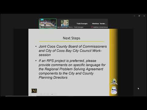
Next steps identified in discussion include asking staff to incorporate commissioner feedback into the final technical memos and to continue coordination with DLCD and service providers to evaluate sewer, water and fire district capacity and to refine a work program should the city and county decide to proceed with RPS or urban reserve designation.