Get Full Government Meeting Transcripts, Videos, & Alerts Forever!
Get email alerts on the Fire Hazard Mapping topic
No spam. Unsubscribe anytime.
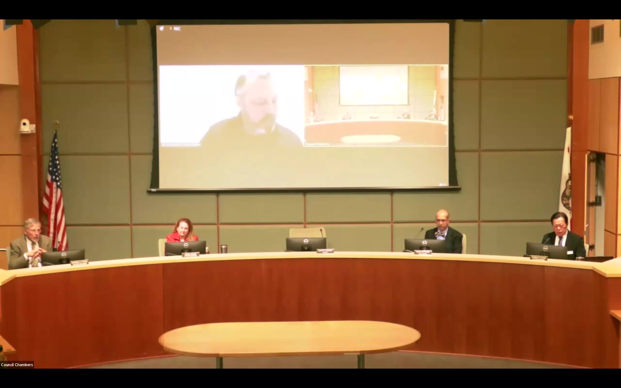
Los Altos Hills council adopts local amendments to CAL FIRE hazard map after heated public hearing
Summary
The Los Altos Hills City Council voted 4-1 on May 15 to adopt local amendments to CAL FIRE's 2025 Fire Hazard Severity Zone base map, raising the designation on 50 parcels and setting a second reading on June 18 to meet a June 24 statutory deadline.
The Los Altos Hills City Council voted 4-1 on May 15 to adopt local amendments to CAL FIRE's 2025 Fire Hazard Severity Zone base map for the town, raising the designation on 50 parcels and scheduling a second reading of the ordinance on June 18 to meet the town's June 24 statutory deadline.
The vote followed a nearly three-hour public hearing in which town staff, the Santa Clara County Fire Department, council members and dozens of residents debated the tradeoffs between stricter local hazard designations, property values and insurance availability. Jay Bradford, the town's Community Development Director, told the council the state provided the maps on Feb. 4 and that the town must adopt maps or local amendments within 120 days under state guidance. "We received the maps on February 4 of this year, and we were mandated to publish those," Bradford said during his presentation.
Why it matters: hazard-zone designations trigger different regulatory steps for building, disclosures and defensible-space measures. The CAL FIRE update increased designations across the town; Bradford said CAL FIRE's rollout changed roughly 1,000 parcels to moderate, about 178 to high and about 507 to very-high designations. The town's proposed local amendments would add higher classifications to 50 parcels that staff and the fire district judged to be under-assessed by the state-level methodology.
Most important facts first: staff recommended two approaches: (1) adopt the CAL FIRE base map exactly as provided, or (2) adopt the CAL FIRE map plus narrowly targeted local amendments identifying specific parcels for higher designations with findings required for any very-high classification. Staff recommended option 2. After public comment, Council approved the staff recommendation (option 2) by a 4-1 roll call (Council Member Mok: yes; Council Member Swan: yes; Council Member Tyson: yes; Vice Mayor Bateja: no; Mayor Kavita Tanker: yes), directing that the ordinance be prepared for second reading on June 18.
What staff and fire officials said: Bradford described the mapping methodology and the town's normalization process for parcel boundaries, noting CAL FIRE evaluates terrain, vegetation and weather over broad areas and that the maps do not align neatly with property lines. "The CAL FIRE base map came out in a format that really was not necessarily aligned with properties specifically," he said. Bradford said local amendments require findings if a parcel is raised to "very high." Jeremy Davis, assistant fire marshal with the Santa Clara County Fire Department, told the council the newer CAL FIRE maps reflect higher-resolution weather and remote automated station data and provide a more detailed picture of risk. "Now what we have is we have remote automated weather stations ... so CAL FIRE was able to take the data from each of these weather stations and look at the coastal influence ... and that's what got us to where we are today," Davis said.
Public concerns and responses: dozens of residents spoke. Some homeowners said the higher designations could harm property values or make insurance unaffordable; Walter Wilson, whose property was among those proposed for reclassification, said his home insurer canceled coverage and he now pays $84,000 a year for replacement coverage out of state. "I can't pay any more. This is devastating," Wilson told the council. Other residents urged stricter local requirements and faster town action on fuel reduction, road clearance and defensible-space enforcement. County fire officials and several council members emphasized that insurers use multiple, parcel-level models and that participation in mitigation programs can be a factor in insurer decisions.
Council debate: supporters of option 2 emphasized public-safety benefits and the need to align local classifications with observed topography, narrow roads and egress constraints. Dissenting members warned of economic harm for homeowners and urged alternatives such as townwide municipal ordinances requiring defensible-space measures or wildland-urban-interface (WUI) standards tied to building codes. Several councilmembers said they favored pursuing both: adopt the staff-recommended map changes now while directing staff to return with local mitigation measures and code updates. Bradford confirmed future building-code amendments and WUI standards will be considered when the state releases updated model codes July 1.
Action taken: Council adopted the ordinance language that implements option 2 (local amendments to the CAL FIRE base map). The motion carried 4-1; Vice Mayor Bateja voted no. A second reading of the ordinance is scheduled for June 18 to meet the town's June 24 deadline under the state's timeline.
What comes next: if the ordinance is adopted at second reading, affected property owners will be subject to the higher regulatory requirements tied to very-high and high designations (disclosures, structural hardening and defensible-space rules for new construction and substantial reconstruction). Bradford and other staff told council they will continue coordinating with Santa Clara County Fire and with regional partners and will return with details about building-code changes and potential municipal measures to encourage or require property-level mitigation.
Background/context: CAL FIRE's 2025 map update expanded the number of properties in higher categories statewide; the town's outreach included public workshops and a joint wildfire workshop with the fire district. Staff said CAL FIRE's updated modeling used higher-resolution weather station data and a 20-acre methodology that sometimes left smaller parcels misaligned with the base map, prompting the town's targeted local amendments.
Ending: Council members and staff urged residents to continue mitigation actions and to participate in community programs such as Firewise efforts. Bradford and county fire staff emphasized that risk reduction at the parcel and neighborhood level, not map labels alone, reduces hazard and insurer exposure.