Get Full Government Meeting Transcripts, Videos, & Alerts Forever!
Get email alerts on the Multimodal Transportation topic
No spam. Unsubscribe anytime.
Centennial advances Colorado Boulevard multimodal design despite resident concerns about lane reduction
Summary
City staff told council the project would reconfigure Colorado Boulevard from Arapahoe to Dry Creek to one lane each way with a multi‑use path, backed largely by federal TIP funds; staff said traffic modeling shows capacity is sufficient but residents raised concerns about drive times, left‑turns and enforcement.
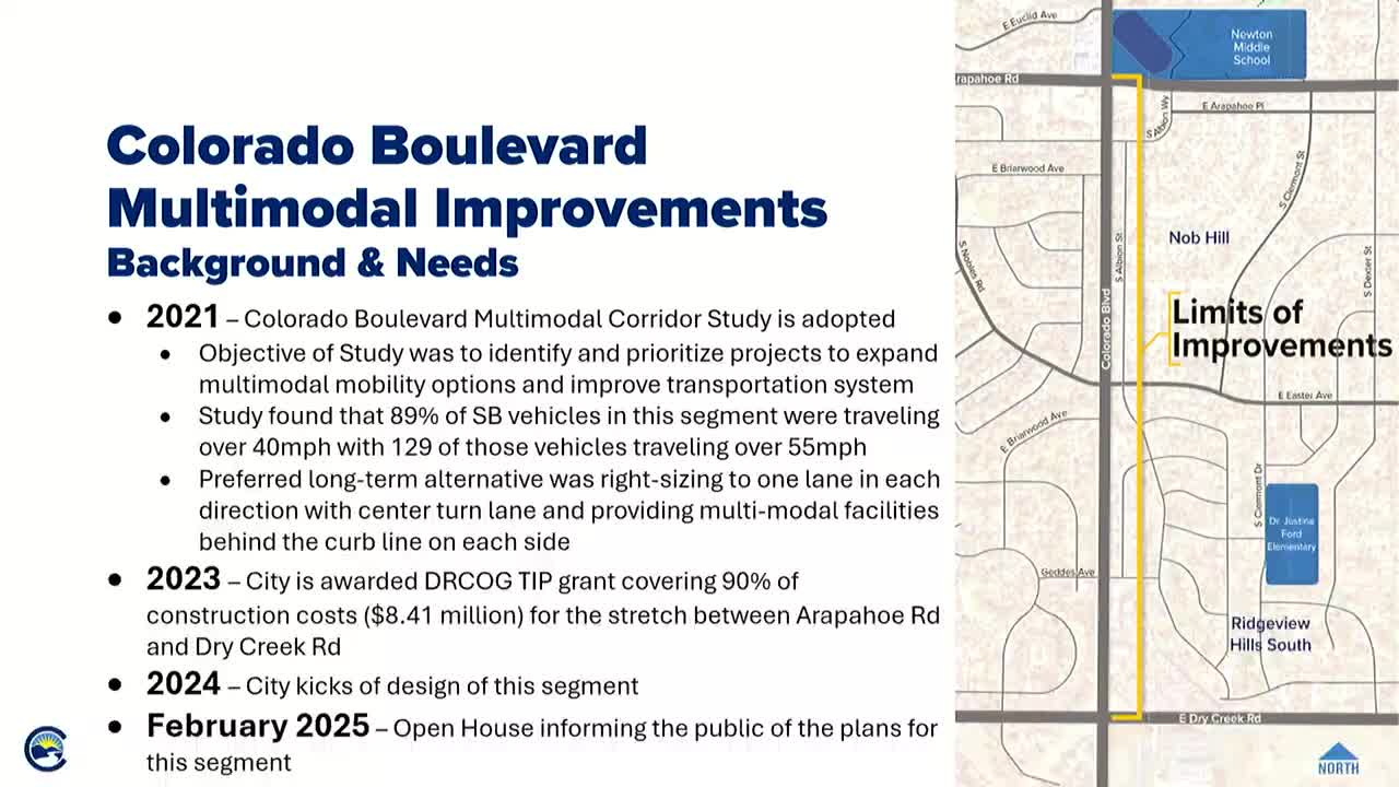
Centennial officials updated the City Council on May 13 on the Colorado Boulevard multimodal project, which would reconfigure the street between Arapahoe Road and Dry Creek Road to one travel lane in each direction with a center turn lane and a multi‑use path behind the curb.
The change, designed to reduce speeds and add protected space for people walking and biking, is funded primarily by a federal DRCOG Transportation Improvement Program (TIP) grant and is scheduled for construction in 2026 if funding and permitting proceed as planned.
The design team selected a shared use path rather than separated bike lanes because the path provides a buffer and more flexibility to negotiate utilities and conflict points, Anna Leonard, engineering manager, told the council. "That space also gives us some flexibility if we need to narrow in at certain points to avoid utilities or other conflicts," Leonard said.
City analysis presented to council shows the corridor averages about 11,000 vehicles per day. Staff said a single lane in each direction would have capacity to carry current traffic volumes. "It's considered an arterial but it's nothing like University that has closer to 30,000 vehicles per day," Leonard said.
Residents and council members raised several recurring concerns during the presentation and follow‑up: potential peak‑hour delays for commuters leaving and returning to neighborhood streets; the possibility of increased cut‑through traffic on adjacent local roads; and whether lane reduction would meaningfully reduce speeds without additional enforcement.
Leonard said simply lowering posted speeds or relying on enforcement yields short‑term gains and would not deliver multimodal facilities. "Simply lowering the speed limit without other geometric constraints does not typically result in a change in driver behavior," she said. The design retains existing turn‑lane capacity at signals to preserve intersection queuing lengths, she added.
Council members asked staff to provide the public‑facing talking points and the traffic‑volume distributions used for peak‑hour modeling. Leonard said staff will publish that material and perform additional monitoring after construction.
Funding and schedule remain contingent on the TIP grant and CDOT review. Council sought assurance funding will remain available; staff said they are monitoring CDOT and DRCOG communications and will not advertise for construction until funding confirmation is received. "As we advance each project into construction, we wanted to continue with all of our designs to have them ready regardless of what that funding situation was," Leonard said.
Council did not take a formal vote; staff requested a, and received, general thumbs‑up to continue final design and public outreach. The city plans a second round of public outreach with final plans before construction notification to residents.
What’s next: staff said they will complete the final design, continue outreach, publish technical Q&A for residents and seek CDOT/TIP confirmation before advertising for construction.