Get Full Government Meeting Transcripts, Videos, & Alerts Forever!
Get email alerts on the Transportation Safety topic
No spam. Unsubscribe anytime.
N.H. DOT begins design work to improve safety at Route 202–Estes Road intersection
Summary
N.H. Department of Transportation and consultants outlined data collection and conceptual alternatives — including a roundabout, signal and geometric changes — after decades of crashes and prior safety audits; public outreach and NEPA environmental review will follow.
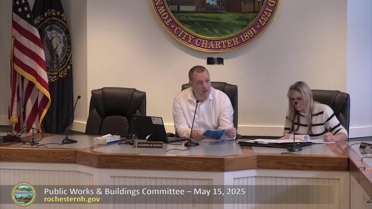
Corey Svetlunas, safety section project manager at the N.H. Department of Transportation, told the Public Works & Buildings Committee on May 15 that the Route 202 (Washington Street) and Estes Road intersection has a documented crash history, including at least one fatality, and that DOT and consultant VHB are advancing the site from audits and low‑cost fixes to a design project.
Frank Kachalka of VHB described conceptual alternatives the team will evaluate: a single‑lane roundabout, a traffic signal, an all‑way stop or geometric changes to flatten the vertical curve and improve sight distance. Kachalka said the team will also pursue low‑cost measures such as clearing, signing and pavement marking. “Roundabout is almost always an alternative that we consider,” he said.
DOT said it has completed wetland delineations and survey limits and will collect traffic volumes, turning movements, acoustic monitoring, invasive species data and a cultural/historic evaluation required under the National Environmental Policy Act (NEPA). The project schedule calls for selecting a preferred alternative in summer 2025, moving to preliminary design later in 2025 and advancing to final design and advertisement in subsequent years, subject to DOT processes and funding.
Why it matters: Committee members and residents emphasized the site’s vertical curvature, vegetation and skewed alignment that reduce sight distance. DOT staff said sight line easements purchased in prior work are state‑owned and the state is responsible for enforcement. DOT representatives discussed the Inter‑Intersection Conflict Warning System (ICWS) as one potential technology, but cautioned that ICWS results have been mixed and may not change mainline driver behavior.
Public outreach: DOT plans at least one public information meeting and said there likely will be multiple hearings, including right‑of‑way impacts if the preferred alternative requires property. The city offered its public works facility as an outreach location.
The committee did not take formal action; DOT and the city agreed to coordinate public outreach and schedule follow‑up updates as design work proceeds.
Ending — next steps: DOT and VHB will complete data collection this spring, develop concept alternatives and return with a recommended preferred alternative for the committee and for public review.