Get Full Government Meeting Transcripts, Videos, & Alerts Forever!
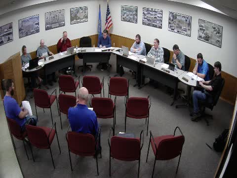
Council hears options to remove 19 parcels from floodplain maps; consultant gives cost estimates for group LOMA
Summary
City consultant described elevation surveys, elevation certificates and the letter of map amendment (LOMA) process for 19 properties flagged in the city’s flood map review, and presented grouped cost estimates that could save property owners money if the city coordinates the work.
The city could pursue elevation surveys and FEMA filings that would remove some properties from the floodplain, a consultant told the council during an update on the 2024 flood map review. Shane Waterman described a three‑step technical approach — survey lowest adjacent grade, determine base flood elevations from the FEMA model, and prepare FEMA elevation certificates as the basis for a LOMA (letter of map amendment).
"We can do survey work to establish what those lowest adjacent grades are," Waterman said. "Then after that, you take that information and you create what they call an elevation certificate ... and if everything meets the criteria, then those properties would be able to…
Already have an account? Log in
Subscribe to keep reading
Unlock the rest of this article — and every article on Citizen Portal.
- Unlimited articles
- AI-powered breakdowns of topics, speakers, decisions, and budgets
- Instant alerts when your location has a new meeting
- Follow topics and more locations
- 1,000 AI Insights / month, plus AI Chat