Get Full Government Meeting Transcripts, Videos, & Alerts Forever!
Get email alerts on the Municipal It Gis topic
No spam. Unsubscribe anytime.
Consultant presents GIS tools to Belpre council as a planning and operations aid
Summary
Drew Sexton, a GIS consultant, demonstrated MapOut/Map Health mapping tools to council members and suggested uses for planning, asset management and grant applications; no procurement vote was taken.
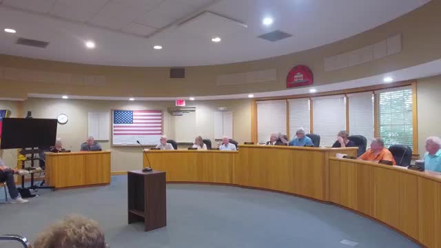
Drew Sexton, a GIS consultant who identified himself as working with Map Health (also described in the presentation as MapOut in product examples), presented a demonstration of geographic information system (GIS) services to the Belpre City Council.
Sexton described GIS as a “computer mapping” platform used by planners, engineers and public‑safety officials and outlined typical applications: asset inventories for utilities and streets, capital improvement planning, zoning and permitting maps, public-facing community overview tools and a camera-registration application for law enforcement. He told council that ArcGIS platform licenses and hosted tools can provide interactive public maps, parcel-level queries, demographic summaries for grantwriting and operational dashboards for utilities teams.
Sexton said the firm has worked with multiple Ohio communities and presented examples including road inventories, crime heat maps, camera‑registration overlays used by police, tree inventories and parcel/zoning maps. He suggested the city’s zoning and board maps were out of date and offered the consultant’s services to update and publish those resources so they can be used for grant applications and community engagement.
No procurement or contract award occurred during the meeting; Sexton asked council members to review the demonstration and follow up if they wished to pursue GIS services. "If there's something in here that solves a problem that you have, we make sure that it's accessible," Sexton said.
The presentation closed with an offer to provide references and further examples from communities the firm serves.