Get Full Government Meeting Transcripts, Videos, & Alerts Forever!
Board approves Knighton Road rezoning and parcel map for proposed fuel station and retail site
Summary
Supervisors approved a commercial-highway rezoning and parcel map to allow a proposed fuel station, convenience store and truck fueling area at the Knighton Road/Churn Creek Road interchange; the project cleared a mitigated negative declaration with measures for biological, cultural and water-quality impacts.
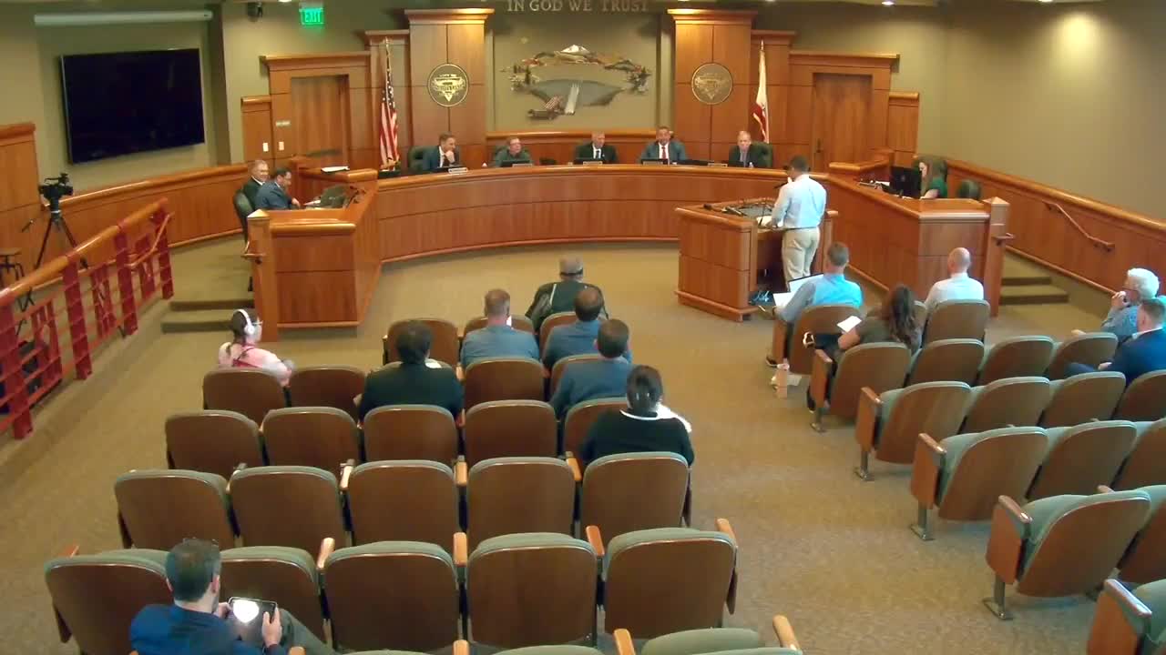
The Shasta County Board of Supervisors voted 5–0 April 22 to rezone multiple parcels near the Interstate-5 Knighton Road interchange and approved a parcel map that would allow a truck and auto fueling station with a convenience store and related improvements, subject to mitigation measures.
Project and approvals - The applicant requested the Commercial Highway (CH) zoning on portions of several parcels (roughly 30.39 acres and smaller parcels), together with a parcel map that would divide a 15.49‑acre tract into two developable parcels and a remainder. Proposed development on Parcel 1 included a convenience store (about 5,951 sq. ft.), a 20-pump fueling…
Already have an account? Log in
Subscribe to keep reading
Unlock the rest of this article — and every article on Citizen Portal.
- Unlimited articles
- AI-powered breakdowns of topics, speakers, decisions, and budgets
- Instant alerts when your location has a new meeting
- Follow topics and more locations
- 1,000 AI Insights / month, plus AI Chat