Get Full Government Meeting Transcripts, Videos, & Alerts Forever!
Caribou planning board reviews draft future land-use map, emphasizes riverfront mixed use and resiliency
Summary
Board reviewed draft designated growth areas for the comprehensive plan: mixed-use along downtown and South Main, limiting industrial riverfront uses, aligning future growth areas to parcel lines, and incorporating a GOPIF resiliency study into the plan.
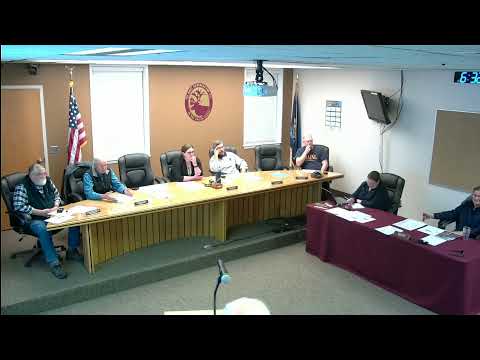
Planning staff led a detailed discussion Thursday of the future land-use section of Caribou’s comprehensive plan and a proposed “designated growth areas” map that will guide a forthcoming zoning update.
City staff sought direction on where the map should identify future growth: downtown mixed-use, an extended mixed-use corridor down South Main Street, limited industrial locations (not the riverfront), and redevelopment of former industrial parcels such as the Birds Eye site under a new working name “Caribou Crossing.”
Staff (Karen, city planning) said the 2014 plan used a simple blue-line proposed growth area and that…
Already have an account? Log in
Subscribe to keep reading
Unlock the rest of this article — and every article on Citizen Portal.
- Unlimited articles
- AI-powered breakdowns of topics, speakers, decisions, and budgets
- Instant alerts when your location has a new meeting
- Follow topics and more locations
- 1,000 AI Insights / month, plus AI Chat