Get Full Government Meeting Transcripts, Videos, & Alerts Forever!
Get email alerts on the Planning Comprehensive Plan topic
No spam. Unsubscribe anytime.
Caribou planning board reviews draft future land-use map, emphasizes riverfront mixed use and resiliency
Summary
Board reviewed draft designated growth areas for the comprehensive plan: mixed-use along downtown and South Main, limiting industrial riverfront uses, aligning future growth areas to parcel lines, and incorporating a GOPIF resiliency study into the plan.
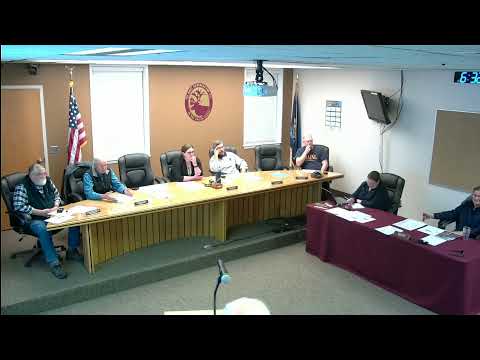
Planning staff led a detailed discussion Thursday of the future land-use section of Caribou’s comprehensive plan and a proposed “designated growth areas” map that will guide a forthcoming zoning update.
City staff sought direction on where the map should identify future growth: downtown mixed-use, an extended mixed-use corridor down South Main Street, limited industrial locations (not the riverfront), and redevelopment of former industrial parcels such as the Birds Eye site under a new working name “Caribou Crossing.”
Staff (Karen, city planning) said the 2014 plan used a simple blue-line proposed growth area and that Northstar Planning will prepare a parcel-based map the board must confirm. Karen asked the board to consider including River Road, the airport property for aviation-related uses only, TIF district boundaries and sewer-availability corridors that could justify future sewer extensions and housing development.
The board discussed the parcel-level mapping requirement and the need to avoid spot zoning. Staff said the future-growth-area boundary must follow parcel lines for the state mapping requirement and for correct tax increment financing (TIF) calculations. She noted a question mark about airport property uses because FAA constraints may limit development to aviation-related projects unless the city segments and sells off land.
Members and staff also discussed incorporating a community resiliency chapter into the comp plan. Karen described a state-sponsored vulnerability study being produced by North Star Planning and Seiler Climate Consulting under the Governor’s Office of Policy Innovation and the Future (GOPIF). She said an initial vulnerability report is expected in June and a larger grant opportunity in August; the resilience chapter will support future grant applications for sewer, energy, internet and emergency resource centers.
Board guidance included: keep the riverfront from being designated industrial in the future land-use narrative; extend mixed-use designations along High Street and down South Main within reasonable parcel-depth limits; add TIF district boundaries and sewer extension corridors to support housing and redevelopment goals; and ask Northstar to create a parcel-based blue-line overlay for review.
Ending: Staff and Northstar Planning will prepare parcel-based map drafts and a written future-land-use narrative for the board’s review; the resilience chapter and TIF mapping will be incorporated prior to finalizing the comprehensive plan.