Get Full Government Meeting Transcripts, Videos, & Alerts Forever!
City of Central outlines data-driven flood program, real-time forecasting and grants strategy
Summary
Mayor Wade Evans and consultant Stoker Brown described Central's living hydraulic model, a real-time EarlyFlows forecasting tool, lidar updates and an aggressive grant strategy that the city says reduced flood risk and lowered residents' FEMA Community Rating System discounts.
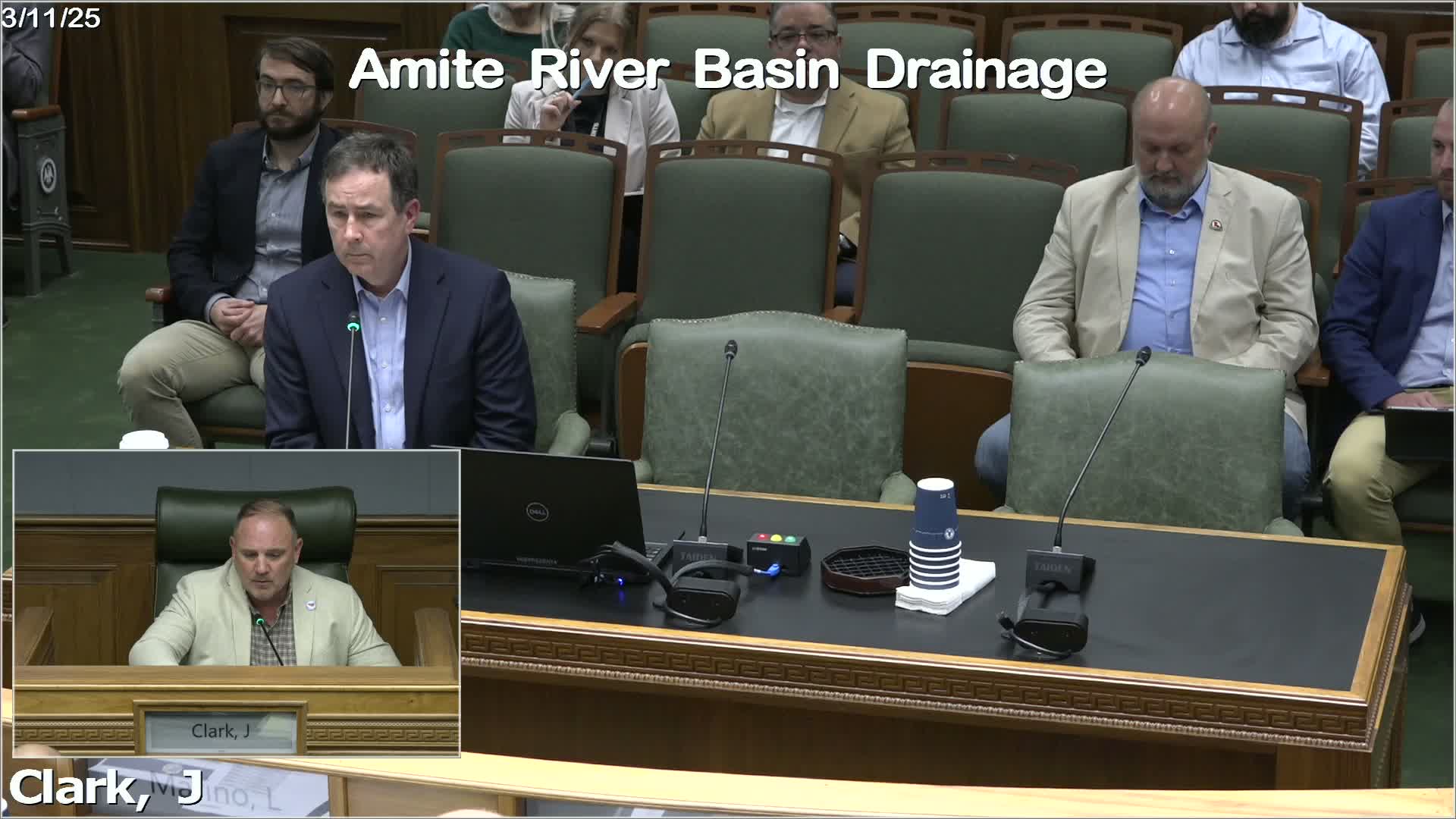
Mayor Wade Evans, mayor of the City of Central, told the Amite River Basin Drainage and Water Conservation District that his city has rebuilt its flood program around a living hydraulic model, new lidar, local maintenance and a public-facing forecast tool that shows projected water depths in real time.
The presentation, delivered to commissioners by Evans and CSRS consultant Stoker Brown, summarized technical work Central says it has financed and deployed since the 2016 floods: a high-resolution lidar flight completed in January, upgrades to the city’s hydraulic model, a program of proactive roadside-ditch excavation and culvert replacement, and a web-based forecast and gauge network the city calls EarlyFlows.
The model and data infrastructure are intended to do two things, Evans said: better evaluate proposed development’s off-site drainage effects and give residents timely information to reduce anxiety. “We were able to get our FEMA community rating system down to a 5,” Mayor Wade Evans said. “With the…
Already have an account? Log in
Subscribe to keep reading
Unlock the rest of this article — and every article on Citizen Portal.
- Unlimited articles
- AI-powered breakdowns of topics, speakers, decisions, and budgets
- Instant alerts when your location has a new meeting
- Follow topics and more locations
- 1,000 AI Insights / month, plus AI Chat