Get Full Government Meeting Transcripts, Videos, & Alerts Forever!
Get email alerts on the Groundwater Monitoring topic
No spam. Unsubscribe anytime.
USGS briefing: groundwater levels in parts of Elbert County's Denver Basin are declining
Summary
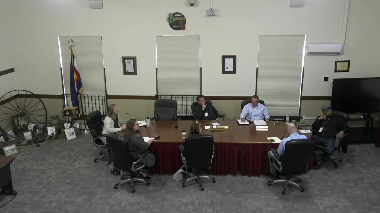
At an April 2 meeting, the Elbert County Board of Commissioners heard a USGS Colorado Water Science Center presentation showing groundwater levels in parts of the Denver Basin beneath Elbert County are trending downward and that a new USGS Scientific Investigations Report covering 2015–2023 is in final editorial review.
At an April 2 meeting, the Elbert County Board of Commissioners heard a USGS Colorado Water Science Center presentation showing that groundwater levels in parts of the Denver Basin beneath Elbert County are trending downward and that a new USGS Scientific Investigations Report (SIR) covering 2015–2023 is in final editorial review.
USGS scientists said the county’s 10-year monitoring network now provides a broader, clearer picture of aquifer behavior than earlier reports and that more data have reduced statistical uncertainty. ‘‘The water level trends are going down,’’ Kelly, a USGS scientist who led the presentation, said. She also noted that ‘‘all these data is publicly available’’ through the USGS National Water Information System (NWIS).
Why it matters: Elbert County planners and commissioners said groundwater from the Denver Basin supplies most county needs and that trends could affect approvals for new development, particularly in the northwest and north‑central corridors. Commissioners asked the USGS for more detail and asked staff to coordinate follow-up steps including restoring monitoring wells that have dropped out of the network.
USGS presentation and data USGS staff described the monitoring network (about 30–31 wells currently active, down from roughly 40 at the program’s start) and how the wells are distributed among the Denver Basin bedrock aquifers: roughly nine wells in the Upper Dawson, seven in the Lower Dawson, five in the Denver aquifer, six in the Arapahoe, and four in the Laramie–Fox Hills. The presenters explained the difference between discrete (bimonthly "scribe" tape) measurements and continuous pressure‑transducer records that log water level hourly and noted that continuous records improve the ability to detect statistically significant trends.
USGS summarized changes from the previous SIR and said the earlier report showed trends up to about 5 feet per year; in the current analysis the largest decreasing trend was about 3 feet per year in magnitude. The presenters said longer records (the new study stretches to the end of 2023) mean more wells and longer time series can change trend estimates and reduce uncertainty.
Discussion with county officials Commissioners pressed for operational detail: how many wells are enough, how to replace wells lost from the network, and what triggers would prompt UGS to notify the county of sudden declines. Commissioner Mike Buck asked whether the current number of wells is adequate and what is needed to regain coverage closer to the original ~40 wells. Kelly answered that the right number depends on the county’s monitoring goals and that USGS can assess the network and suggest options but cannot give prescriptive resource‑management recommendations. ‘‘We have to be careful not to provide a recommendation,’’ Megan Bell, chief of the Lakewood Hydrologic Investigations unit, told commissioners, explaining USGS’s role as a scientific provider rather than a resource manager.
County staff and commissioners requested a practical plan to restore or relocate wells lost from the network and discussed doing that jointly with USGS and with possible local contractors or volunteers. Commissioners also asked USGS about other technical approaches—USGS described alternatives such as updating the Denver Basin numerical model for a county focus, groundwater‑age tracing to estimate the speed of groundwater movement, and storage‑change measurements to convert level changes into volumetric storage estimates.
Data access and report timing USGS said the SIR (covering 2015–2023) is in editorial review and could be published on the USGS website this summer; staff offered to provide a limited, nonpublic courtesy draft to county officials if the county prefers an earlier look. USGS reiterated that the raw and processed monitoring data are posted to NWIS and offered to walk county staff through data access and to provide the summary tables shown in the presentation. Commissioners were invited to submit a prioritized list of technical questions about the scope of work; USGS agreed to answer or refer questions as needed.
Next steps and county priorities No formal action or vote was taken. Commissioners and USGS agreed to continue discussions and plan a follow‑up meeting to: review the SIR when published (or receive a courtesy draft), identify wells to restore or relocate, discuss possible triggers/notifications for abrupt declines, and scope any additional scientific work (modeling, age tracing or storage estimates) if the county requests it. Commissioners described the need to incorporate the monitoring results into the county’s comprehensive plan and land‑use decisions.
Ending USGS staff left contact information and offered continued technical support. County officials said they will compile questions about the contract and scope and plan another meeting to refine monitoring and planning steps.