Get Full Government Meeting Transcripts, Videos, & Alerts Forever!
Get email alerts on the Land Use Rezoning topic
No spam. Unsubscribe anytime.
Council approves Water Tower Place rezoning to allow mixed commercial and medium‑density housing
Summary
Brighton City Council voted 8-0 to approve a zoning map amendment that rezones a 14.727‑acre site to C‑2 (restricted retail/services) and R‑2 (mixed‑density residential), paving the way for future subdivision and development.
Brighton City Council approved a zoning map amendment on April 1 that rezones roughly 14.727 acres near East Bridge Street and South 40th Avenue to C‑2 (restricted retail and services) and R‑2 (mixed‑density residential).
City Senior Planner Summer McCann told the council the site was annexed in 1986 and currently carries an underlying C‑3 zoning in the Bromley Park PUD. She said the proposal breaks the property into two planning areas: Planning Area A (about 10.216 acres proposed as R‑2) and Planning Area B (about 4.511 acres proposed as C‑2). “The proposed C‑2 zoning allows for less intense commercial uses than what exists today and is more compatible with the residential zoning already in place,” McCann said. She added that R‑2 “will serve as an appropriate buffer” and supports missing‑middle housing types such as duplexes and row homes.
The rezoning is the second step in the land‑development process; a subdivision plan and final plat are required before site development. Planning staff said the request aligns with the city’s comprehensive plan, which designates the property for commercial use, and noted that the change from the existing PUD underlying C‑3 to straight zones increases predictability for neighbors.
Marcus Pockner, a land‑use consultant for the applicant (Colombo 2 LLC), described outreach to nearby property owners and said the proposal seeks a “horizontal mixed‑use development” that leverages existing infrastructure along an arterial corridor. Paul, representing the property owners (DPC Companies), said the owners held the land for 18 years and that prior negotiations with a grocery store changed the site’s allowable uses; the current request reintroduces residential at a lower intensity than the former C‑3 underlying zoning.
Councilmembers asked whether the R‑2 portion would be rental or for‑sale housing and whether developers would be responsible for public‑improvement reimbursements. The applicant said product type (rental vs. ownership) had not been finalized and that future development would require a traffic‑impact study and could trigger reimbursable public improvements; Assistant Director Christopher Montoya confirmed any negotiated reimbursements would be specified in a later subdivision plan or development agreement.
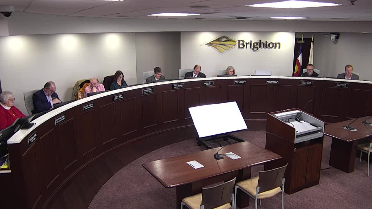
The Planning Commission unanimously recommended approval and staff found the proposal met review criteria in Section 2.03(b) of the land use and development code. The council voted 8–0 (one member absent) to approve the ordinance on first reading after the hearing was reopened and public comments (including three emailed comments) were entered into the record.
The rezoning does not itself authorize building; it changes allowed uses and requires subsequent subdivision and site plans for development and public‑improvement obligations.
The council vote: motion to approve made by Council Member Fiddler and seconded by Council Member Taddeo; roll call recorded the motion as passing 8–0 with 1 absent.
Planning and next steps: the applicant must submit a subdivision plan and final plat and obtain any required traffic‑study results and development agreements that would spell out reimbursements or off‑site work obligations.