Get Full Government Meeting Transcripts, Videos, & Alerts Forever!
Get email alerts on the Comprehensive Plan topic
No spam. Unsubscribe anytime.
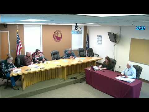
Caribou planning board advances 10-year comprehensive plan discussion focusing mixed-use growth near Route 1 and hospital
Summary
At a planning board meeting, members reviewed draft future land-use ideas for Route 1, the corridor to the Presque Isle line, the hospital area and industrial parcels; board members recommended mixed-use mapping while flagging state curb‑cut limits and a contaminated Birds Eye site that likely rules out housing.
Caribou Planning Board members discussed draft future land‑use directions aimed at guiding the city’s next 10‑year comprehensive plan, focusing discussion on growth corridors along Route 1 and land near the hospital.
The discussion centered on whether to designate the South Main/Route 1 corridor and the stretch toward the Presque Isle city line as mixed‑use growth areas that would accommodate housing and businesses. Board members emphasized that Maine Department of Transportation (MDOT) rules on curb cuts and access could limit what is feasible along Route 1 and noted that any development there likely would require a parallel service road or negotiated access with MDOT.
Why it matters: the board framed the comp plan as a 10‑year guide to help City Council and staff prioritize projects, identify infrastructure needs and attract housing and employment development. Members repeatedly said housing is a high priority and that mixed‑use designation could support housing near existing commercial corridors while preserving viable industrial and agricultural areas.
Board members identified several subareas for different approaches. South Main Street and the valley past the motel were described as existing mixed‑use areas where incremental housing is compatible with commercial frontage. The area near the hospital drew particular attention as a logical site for senior housing or medical‑support uses because of proximity; members suggested the city treat that zone as a target growth area in the comp plan. A planning board speaker also referenced “Rose Acres” as a housing priority in that vicinity.
Members also discussed larger industrial parcels outside the downtown core, including a roughly 200‑to‑225 acre parcel near the old Grimes Mill/refrigeration plant and other sites where light industrial, agricultural processing (for example, potato wash/pack operations) or job‑intensive uses might fit. The board noted such sites are better suited for industrial use than the Route 1 corridor.
A repeated theme was the Birds Eye/railroad station area, where past industrial activity has left soils with contaminants. Board members reported EPA feedback that housing is not advisable at that site; they recommended a reuse master plan and additional testing before considering housing there. Several members said remediation and removal of concrete slabs and embedded rebar would be expensive and that some redevelopment possibilities (commercial or enclosed industrial uses) remain, but housing should be ruled out unless substantial mitigation is completed.
Members asked staff and the consultant to fold those area‑specific recommendations into the draft comp plan and maps so the public and council see a clear, place‑based vision.
The board did not take a formal vote on land‑use designations during the meeting; members instead confirmed follow‑up work and agreed to return recommended language and maps for a future workshop.
Board members and staff mentioned related planning work under way: staffing changes in the planning office and mapping assistance from NorthStar Planning and NMDC; the consultant reported completion of the physical capacity analysis and said the capital investment chapter is next.