Get Full Government Meeting Transcripts, Videos, & Alerts Forever!
Get email alerts on the Mobility Plan topic
No spam. Unsubscribe anytime.
Huntersville Planning Board adopts Mobility Plan to guide sidewalks, bike lanes and street design
Summary
The Huntersville Planning Board voted to adopt the Huntersville Mobility Plan during a special meeting, approving a multimodal street-design guide that lays out cross sections, an online mapping database and a project prioritization tool for sidewalks, multiuse paths and bike lanes.
The Huntersville Planning Board voted to adopt the Huntersville Mobility Plan during a special meeting, approving a multimodal street-design guide that lays out cross sections, an online mapping database and a project prioritization tool for sidewalks, multiuse paths and bike lanes.
The plan, which grew out of the town’s 2040 long-range plan, sets a vision to “create safe and accessible mobility choices for all” and recommends complete-street cross sections for boulevards, major and minor thoroughfares. Transportation planner Heather Maloney told the board the background analysis found about 70% of the town’s thoroughfares have no bike or pedestrian facilities, roughly 20% have sidewalks and about 7% have bike lanes. "About 70% of our thoroughfares have no bike or ped facilities," Maloney said.
The document includes an online mapping database that planners and developers can click to view the recommended cross section for every mapped segment, showing lane widths, sidewalk or multiuse path widths and full right-of-way requirements. Maloney said the database also supports project prioritization for the town’s capital improvement plan: officials can filter projects by connectivity to parks, schools or congestion relief to create ranked lists for funding applications.
Board members asked how the plan would affect project reviews and state-maintained roads. Maloney said the plan recommends that, when included in an adopted plan, NCDOT must construct multimodal facilities if it reconstructs a roadway listed in the plan, though the state would retain roadway maintenance while the town typically maintains sidewalks and sidepaths. She also described how "betterments" work: if the town wants a wider or upgraded facility than DOT’s base standard, the town would pay the incremental cost.
The mobility plan broadens what the town’s traffic impact analysis (TIA) should consider. Board members asked whether TIAs will analyze transit, bike and pedestrian trips rather than vehicle-only traffic; Maloney said the plan directs updates to TIA ordinances to integrate multimodal analysis but that ordinance changes and implementation steps still must occur. The plan’s data sources include NCDOT counts and a consultant‑accessed StreetLight dataset for multimodal estimates.
Board discussion touched on compatibility with existing large NCDOT designs—participants discussed the agency’s “Super Street” configuration along U.S. 21 and N.C. 73 and were told the mobility recommendations acknowledge those designs and seek to add multiuse paths where feasible. Members also discussed how adopted cross sections would be applied to future local thoroughfares such as portions of Irvin Cook Road, Hambright Road and connections to Birkdale Commons Parkway.
The plan does not commit the town to specific construction funding. Maloney and other staff said the document is a guide and implementation tool: it does not itself allocate money but can be used to package projects for discretionary CRTPO funding and other grants. Maloney noted the plan was revised after recent town board feedback to separate items that require town board action from staff tasks; recommended next steps include the town board adopting the plan, drafting a complete-streets policy, updating TIA and zoning/subdivision ordinances and submitting amendments to the regional Comprehensive Transportation Plan (CTP) and federal-aid system where appropriate.
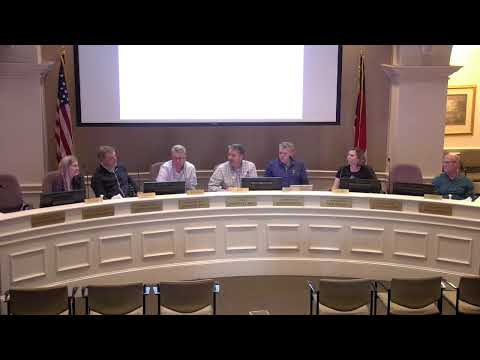
During the meeting a planning board member moved to approve the Huntersville Mobility Plan and a second was recorded. The chair called for the vote; the chair announced the motion carried with no opposition.
Maloney summarized the plan as a predictability tool for developers, residents and the town: an online, regularly updated reference that shows what street cross sections the town expects for different roadway types and land-use contexts. Board members said the predictability would help reduce ad hoc, project-by-project negotiation and support grant applications and capital planning.
Next steps the board identified include transmitting the adopted plan to the town board for formal acknowledgement and directing staff to begin the ordinance and policy updates described in the plan’s action steps.