Get Full Government Meeting Transcripts, Videos, & Alerts Forever!
Get email alerts on the Comprehensive Plan Ch3 topic
No spam. Unsubscribe anytime.
Campton Hills commission reviews draft Chapter 3 of comprehensive plan, asks for wording and map clarifications
Summary
Commissioners reviewed and suggested edits to Chapter 3 (principles, goals and strategies) of the draft comprehensive plan, agreed to retitle a section to “Community Essence,” and directed staff to separate the green infrastructure overlay from the future land-use map for clarity.
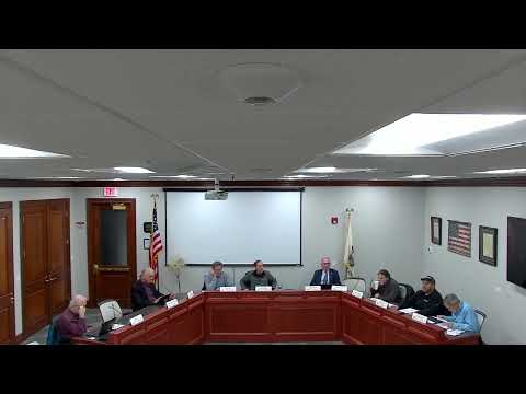
Campton Hills — Commissioners and staff reviewed a revised draft of Chapter 3 of the Village comprehensive plan at the April 9 special meeting and directed several textual and cartographic changes intended to reduce redundancy and improve clarity.
Discussion focused on flow and placement of material labeled “community character.” Several commissioners said the current layout duplicated content between chapters and suggested retitling or repositioning those paragraphs. The commission agreed, for now, to change the heading to “Community Essence” (a working title) so the plan reads more clearly alongside the mission and vision statements. One commissioner suggested treating the mission and vision plus community essence as a single introductory unit before the goals and strategies chapter.
The commission spent substantial time on the future land-use map and related overlays. Commissioners asked staff to make the existing land-use map and the future land-use map easier to compare by using the same or similar category breakdowns (for example, distinguishing agriculture from low-density residential). Members expressed concern that the current future-land-use draft combined many green-infrastructure layers with land-use coloring, producing a visually confusing map that could be misread by developers or the public. Commissioners directed staff to remove the green infrastructure layer from the primary future land-use map and show ecological corridors/green infrastructure as a separate overlay map so each map is easier to interpret. A commissioner summarized the change as: show open space consistently on the land-use map and present green infrastructure as its own, separate layer for evaluation purposes.
Members also discussed the proposed “mixed-use” designation on the future map and whether the label should read “mixed use/commercial” where commercial activity is anticipated (for example, near major intersections and station nodes). Commissioners noted that identifying a small number of nodes for mixed use or commercial development — rather than blanket designations — would better preserve the village’s semi-rural character while retaining local control over where nodes could be concentrated.
The commission asked staff to: (1) retitle the section to “Community Essence” as an interim fix and review placement of that material; (2) provide updated, side-by-side existing and future land-use maps with matched color legends and clearer categories (agriculture vs. low-density residential vs. conservation neighborhood); (3) prepare a separate green-infrastructure/overlay map showing evaluation zones; and (4) draft a recommended sentence or goal suggesting consideration of a community gathering space or town square in the village center or adjacent areas (added as a goal under the plan’s community section). Staff said they would produce revised text and maps for the next meeting and that a more complete public-draft package would follow when map and wording revisions are complete.
The commission did not take a formal vote on the comprehensive-plan text at this meeting; the actions are directional edits and map revisions to be prepared by staff for a future review and public hearing process.