Get Full Government Meeting Transcripts, Videos, & Alerts Forever!
Get email alerts on the Potter Hill Mill Dam topic
No spam. Unsubscribe anytime.
Consultant presents refined plan for Potter Hill dam; council hears details on fishway, wells and timeline
Summary
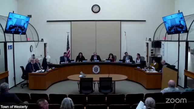
The Westerly Town Council on Jan. 27 received a technical update on the Potter Hill Mill dam project from the town’s consultant team, which said it has refined a preferred design and continues outreach and groundwater monitoring ahead of permit applications.
The Westerly Town Council on Jan. 27 received a technical update on the Potter Hill Mill dam project from the town’s consultant team, which said it has refined a preferred design and continues outreach and groundwater monitoring ahead of permit applications.
Consultant representatives from Fuss & O’Neil told the council they have focused on a modified version of “Alternative E‑2” that includes a stepped fishway with eight weirs and pools. The consultant said successive modeling runs reduced the projected change in upstream impoundment elevation from about 3.5 feet (presented in October) to roughly 1.65 feet in the most recent iteration.
The consultant said the team added an extra weir compared with the original October design and adjusted weir geometry to meet fish‑passage criteria while limiting downstream flood impacts. A ninth weir could reduce the head‑pond change further in model runs (the consultant cited model runs near 1.3–1.4 feet), but staff warned that constructability, river diversion constraints at the Potter Hill Road bridge and increased flood‑risk analyses raise substantial risks for that option.
Why this matters: the project aims to improve river continuity and fish passage, reduce a hazard at the existing spillway and provide flood‑resiliency benefits upstream, while meeting state and federal permitting requirements. Changes to the head‑pond elevation can affect private wells and riverbank conditions for upstream property owners; the consultant said they plan to replace any wells that would be affected prior to construction.
Technical status and next steps: the consultant outlined work under a NOAA grant. The team has been collecting groundwater and well data, deploying monitoring instruments and installing monitoring wells in the river corridor to calibrate a groundwater model. Permit‑level design drawings and supporting hydraulic modeling were described as targeted for completion in May–June 2025, with Army Corps and coastal/permitting reviews to follow. Construction was presented as likely in the summer low‑flow window of 2026 (Bridal/permit windows typically restrict in‑river work until after July 1). The consultant said replacement wells for impacted properties would be implemented before any change in head‑pond elevation and that post‑construction monitoring (invasives, bank stabilization) is included in later grant years.
Councilors and residents pressed the consultant on several points: when additional small‑group meetings would be scheduled (consultants said another meeting was likely in late February or early March), which private wells remain to be surveyed, the expected frequency of post‑construction ecological monitoring (consultant: baseline drone imagery in March with seasonal follow‑ups), and whether adding more weirs would increase future maintenance costs and reduce fish‑passage benefits. The consultant repeated that every additional structure in the river adds maintenance and constructability risk and that permitting agencies and NOAA staff weigh those tradeoffs when funding construction.
Public comment and outreach: the consultant said Lighthouse Consulting Group has been facilitating meetings with concerned residents and the Westerly Land Trust; that material has been migrated to a new project web page (planned to go live the week after the Jan. 27 meeting); and that staff will continue to offer site walks and meetings with property owners and tribal representatives on request. Several residents who spoke during the council’s public comment period said they had not received direct outreach and asked the town to mail or otherwise notify property owners about well surveys and meeting dates.
Costs and funding: the consultant said years‑2 and ‑3 grant funds under NOAA would support design, permitting and implementation activities; the town manager confirmed additional state funding has been requested for site investigations at the mill property, but final funding details were not specified during the meeting.
What the council directed: no final design decision or vote was taken at this meeting; the council heard the update, asked for continued outreach and monitoring, and scheduled follow‑up work on permit drawings and community engagement. Several councilors asked staff to ensure homeowners on River Road and other potentially affected properties receive direct notice of monitoring and mitigation plans.
The meeting closed the Potter Hill update with the consultant saying the team would continue meetings with residents, complete permit documents for submittal in late spring and pursue construction in the 2026 low‑flow season if permits and funding are in place.