Get Full Government Meeting Transcripts, Videos, & Alerts Forever!
Get email alerts on the Land Use Development topic
No spam. Unsubscribe anytime.
Planning board delays Brickyard Commons review amid wetlands, safety and neighborhood concerns
Summary
The Auburn Planning Board postponed action on the Brickyard Commons 96‑unit apartment proposal to May 13 and scheduled a public site walk after extended staff presentations and lengthy public comment about wetlands, DEP permits, floodplain and proximity to a hazardous‑materials transloading facility.
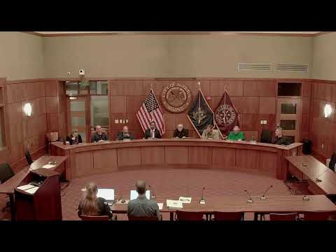
The Auburn Planning Board on April 8 postponed action on the Brickyard Commons site plan and set a public site walk for 4:00 p.m. on May 13 at the Brickyard Circle property.
The Brickyard Commons application, submitted by JIG Investments, proposes a 96‑unit apartment complex made up of eight three‑story multifamily buildings, private roadway, stormwater infrastructure and associated parking and site improvements off Brickyard Circle and North Washington Street. Planning staff and the applicant described existing state approvals and local shoreland rules and recommended conditions for later approval.
Board and public concern focused on environmental and safety matters. Staff and the developer said the project has state Natural Resources Protection Act (NRPA) and U.S. Army Corps of Engineers permits that were issued in 2022 and remain valid; staff noted the property lies inside a form‑based T‑5.1 general development subdistrict that reduces the municipal shoreland setback from 75 feet to 25 feet. Developers said approved permits authorize impacts to wetlands and outfalls and that those impacts were included in the 2022 approvals. Developer Mike Gotto said, “we had 25 foot setback here… We have to pay based on getting those impacts permitted, an impact fee to the state that we'll have to pay,” and that the project includes two permitted outfalls to Taylor Brook.
Neighbors raised multiple site‑specific concerns during public comment: potential damage to a neighborhood spring and groundwater, stormwater and increased basement flooding, loss of an established tree buffer, light and sound pollution, parking and traffic impacts, and the project's immediate adjacency to a rail‑served transloading facility that handles hazardous chemicals. Resident Carol Lane described the property as “a beautiful natural habitat in my neighborhood” and said cutting the remaining tree buffer would worsen wind damage, visual impacts and flooding. Resident Renee Cody pointed to the NRPA staff recommendation for a 30‑millimeter geomembrane liner for groundwater protection and said the developer’s proposal to use a 10‑millimeter liner was inadequate; a local commenter quoting the DEP report said the agency initially recommended 30 mm and then accepted 10 mm after economic arguments from the applicant.
Fire and emergency access were discussed: staff said the fire chief reviewed access and did not oppose the project on those grounds, but the board members and neighbors maintained that proximity to the adjacent Safe Handling transloading facility created an additional safety concern. Board members asked staff whether the ordinance provides any authority to deny or condition the project because of proximity to hazardous industrial uses; staff said the ordinance contains general buffering and site‑design standards but no specific setback rule tied to hazardous industrial neighbors, and that requiring a fence or other mitigation could be considered as a condition if the board wished.
Other technical topics covered by staff and the applicant included off‑site road improvements (the developer agreed to construct a southbound left‑turn lane on Washington Street timed with phased occupancy), sidewalk construction along Brickyard Circle, floodplain and retaining‑wall locations, parking counts, and the planned phasing of site work and parking. The developer said the proposal includes 93 initial parking spaces with the ability to add more later; staff noted the city’s site plan standards and the T‑5.1 district’s higher allowable impervious surface in this zone.
After extended public comment and board discussion, members decided to arrange a publicly noticed site walk so the board, staff, the applicant and interested residents could review the clearing limits, proposed road alignment and the relationship between the project site and adjacent industrial uses. The meeting record shows the board postponed a final vote and set a public site walk for 4:00 p.m. on May 13 at the property off Brickyard Circle.
The postponement leaves outstanding technical and policy questions for staff and the applicant to address before the board’s next hearing: the thickness and extent of any protective liner around stormwater features, details and timing for the off‑site turn lane and sidewalk work, exact building and retaining‑wall setbacks from the normal high water line of Taylor Brook, and any mitigation the board wishes to require along the property line with the transloading facility.
Planning staff said they will publicly notice the site walk and circulate guidance about the rules of engagement for the visit. The board will consider the Brickyard Commons application again at its May hearing after the site inspection and any follow‑up information from staff or the developer.