Get Full Government Meeting Transcripts, Videos, & Alerts Forever!
Get email alerts on the Parks Trails Greenway topic
No spam. Unsubscribe anytime.
Morgan County Commissioners table White River Greenway Trail plan after sustained property-owner objections
Summary
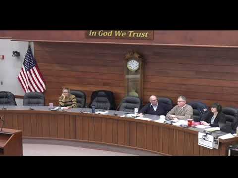
After more than an hour of public comment from landowners worried about flooding, liability and private-property impacts, the Morgan County Commissioners voted 3-0 to table final action on the White River Greenway Trail plan to allow review of alternative routes and additional outreach.
The Morgan County Commissioners on April 7 unanimously tabled consideration of a countywide White River Greenway Trail plan after multiple property owners urged the panel to pause work and seek alternate routes.
The action came after roughly 75 minutes of public comment from landowners and farmers who said the proposed alignment, as shown in maps distributed to the public, would cross private farmland, utility easements and railroad right-of-way and in places follow creek corridors they said flood regularly. Commissioner Collier moved to table the plan so commissioners could review alternative routes; Commissioner Adams seconded. The motion carried, 3-0.
Why it matters: County staff and the consultant have pushed a multi-decade vision to connect existing parks and trails and make the county eligible for federal and state trail grants. Property owners said they support public trails in concept but object to the current mapped alignments, and many said they had not been directly approached about easements.
Speakers at length described concerns about flood-prone corridors, farm operations, pesticide and crop-spray exposure, and public-safety risks where trails would run near rail lines or through narrow backyards. Property owner Clint Cragan said the planned route “follows the railroad up to a point and makes some jogs” and warned that the corridor between Martinsville and the power plant “is not there” except for seasonal field access and would require repeated maintenance. Resident Patricia Saint said the route would affect “three critical infrastructures” — farmland, electricity easements and the railroad — and called the proposed alignment a “national security threat” for those reasons.
Several speakers called for clearer outreach. Dave Ferguson, an owner of farmland that appears on the maps, said he and his neighbors “would like to be in conversation” with county staff about future use of their property; Otis Pew Jr. related an earlier experience in which residents believed a route was already final and spent years resisting it.
County staff and the consultant explained the maps are an early-stage KML-based “guiding document,” not a binding acquisition plan. Kenny (county project lead) said the draft alignment is a starting point and that the map has been revised multiple times; he said final alignment depends on property-owner agreements and funding. Commissioners and staff stressed that the plan is intended to make the county competitive for grants such as National Park Service or Land and Water Conservation Fund awards and that formal easements or land purchases would require negotiated agreements with property owners.
Commissioner Collier asked that consultants develop and present feasible alternative corridors, specifically suggesting a route that would extend the Waverly Park trail to the Henderson Ford boat ramp as a potential connector that might avoid some private lands. The commission did not set a specific date to return the item but the motion to table was stated to allow more time for mapping alternatives and additional outreach.
Ending: Commissioners said the matter will return for further review after staff and the consultant prepare alternate alignments and additional public engagement. The tabling vote was 3-0.